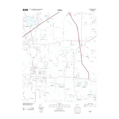
2013 Map of Eads
USGS Topo · Published 2013About this map
The settlement of Lakeland and the surrounding rural communities of Shelby County are captured here in the early 21st century. The landscape is defined by an intricate network of waterways and managed reservoirs, including Lakeland Lake, Fogelman Lake, and the expansive Herb Parsons Lake in the southeast. Significant civil engineering is evident through the numerous Cypress Creek and Grays Creek canal systems that navigate the low-lying terrain of Spain Bottom.
Find a feature on this map
189 named features on this map. Tap any name to fly to it.
Don’t see what you’re looking for? This feature index may not catch every label — zoom into the map to look around manually.
Map Details
Editions of this 2013 Eads Map
This is the sole edition of this map. No revisions or reprints were ever made.
Other maps of this area

1942 · Millington
USGS Topo · 1:62,500

1943 · Collierville
USGS Topo · 1:62,500

1953 · Collierville
USGS Topo · 1:50,000

1954 · Mason
USGS Topo · 1:62,500

1956 · Blytheville
USGS Topo · 1:250,000

1959 · Blytheville
USGS Topo · 1:250,000

1960 · Bartlett
USGS Topo · 1:62,500

1960 · Millington
USGS Topo · 1:62,500

1961 · Bartlett
USGS Topo · 1:62,500

1965 · Rossville
USGS Topo · 1:24,000