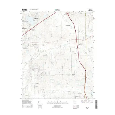
2016 Map of Eads
USGS Topo · Published 2016About this map
Lakeland and Arlington anchor the northern reaches of this East Memphis suburban and rural landscape, where the Shelby Co Fayette Co line defines the eastern boundary. The area is marked by a complex network of man-made waterways, including the Cypress Creek Canal and Grays Creek Canal, which drain the lowlands of Spain Bottom. Modern transit corridors like the Paul W Barret Pkwy and I-40 slice through older crossroads settlements, yet the land retains deep ties to its 19th-century roots through a dense concentration of burial grounds. Genealogists can trace family names at sites like Chambers Chapel Cem, Wells Cem, and Seward Cem. The presence of the Visible School-Music and Worship Arts Coll in Bartlett and small airstrips like Parker Airport highlight the mix of educational and private aviation infrastructure serving these growing Tennessee communities.
Find a feature on this map
54 named features on this map. Tap any name to fly to it.
Don’t see what you’re looking for? This feature index may not catch every label — zoom into the map to look around manually.
Map Details
Editions of this 2016 Eads Map
This is the sole edition of this map. No revisions or reprints were ever made.
Other maps of this area

1942 · Millington
USGS Topo · 1:62,500

1943 · Collierville
USGS Topo · 1:62,500

1953 · Collierville
USGS Topo · 1:50,000

1954 · Mason
USGS Topo · 1:62,500

1956 · Blytheville
USGS Topo · 1:250,000

1959 · Blytheville
USGS Topo · 1:250,000

1960 · Bartlett
USGS Topo · 1:62,500

1960 · Millington
USGS Topo · 1:62,500

1961 · Bartlett
USGS Topo · 1:62,500

1965 · Rossville
USGS Topo · 1:24,000