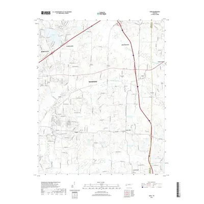
2019 Map of Eads
USGS Topo · Published 2019About this map
Spain Bottom and the Cypress Creek Canal anchor this landscape of transitioning rural spaces and growing suburbs along the Shelby and Fayette County line. The settlement of Eads sits at the junction of modern transportation corridors, while older community centers like Pisgah and Lenow remain visible through their local roads and historic cemeteries. The map reveals a high density of burial grounds including Log Union Cem, Morning Sun Cem, and Chambers Chapel Cem, serving as essential markers for genealogical research in these Tennessee communities.
Find a feature on this map
164 named features on this map. Tap any name to fly to it.
Don’t see what you’re looking for? This feature index may not catch every label — zoom into the map to look around manually.
Map Details
Editions of this 2019 Eads Map
This is the sole edition of this map. No revisions or reprints were ever made.
Other maps of this area

1942 · Millington
USGS Topo · 1:62,500

1943 · Collierville
USGS Topo · 1:62,500

1953 · Collierville
USGS Topo · 1:50,000

1954 · Mason
USGS Topo · 1:62,500

1956 · Blytheville
USGS Topo · 1:250,000

1959 · Blytheville
USGS Topo · 1:250,000

1960 · Bartlett
USGS Topo · 1:62,500

1960 · Millington
USGS Topo · 1:62,500

1961 · Bartlett
USGS Topo · 1:62,500

1965 · Rossville
USGS Topo · 1:24,000