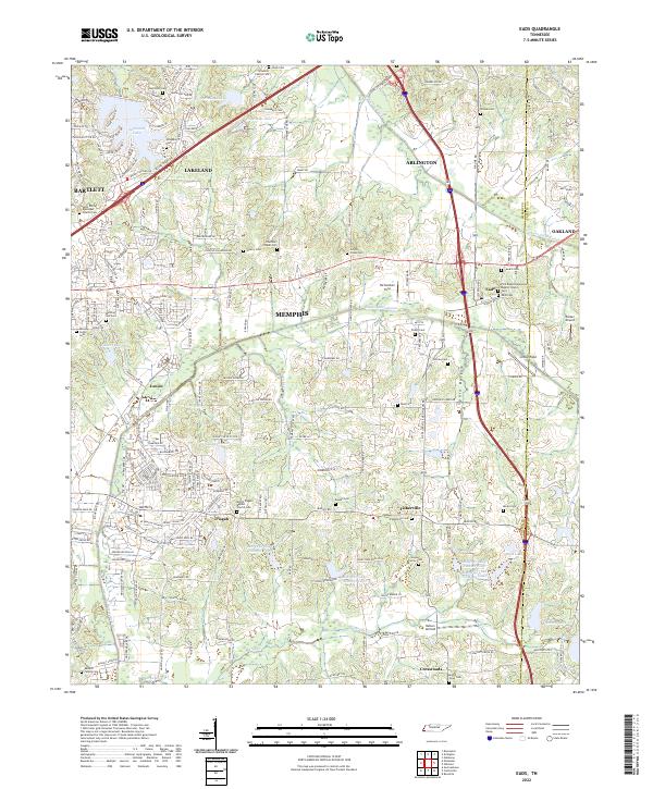
2022 Map of Eads
USGS Topo · Published 2022About this map
Eads sits at a crossroads in eastern Shelby County, marking a landscape where the expanding suburban reaches of Bartlett and Arlington meet a deeply rooted rural history. This area is characterized by an extensive collection of family burial grounds and small community landmarks, such as the Schwerin Family Cem, Hooker Family Cem, and Chambers Chapel Cem. The transition from historical agricultural use to modern development is visible in the juxtaposition of local aviation sites like Parker Airport and Nelson Airfield against traditional land features like Spain Bottom.
Find a feature on this map
188 named features on this map. Tap any name to fly to it.
Don’t see what you’re looking for? This feature index may not catch every label — zoom into the map to look around manually.
Map Details
Editions of this 2022 Eads Map
This is the sole edition of this map. No revisions or reprints were ever made.
Other maps of this area

1942 · Millington
USGS Topo · 1:62,500

1943 · Collierville
USGS Topo · 1:62,500

1953 · Collierville
USGS Topo · 1:50,000

1954 · Mason
USGS Topo · 1:62,500

1956 · Blytheville
USGS Topo · 1:250,000

1959 · Blytheville
USGS Topo · 1:250,000

1960 · Bartlett
USGS Topo · 1:62,500

1960 · Millington
USGS Topo · 1:62,500

1961 · Bartlett
USGS Topo · 1:62,500

1965 · Rossville
USGS Topo · 1:24,000