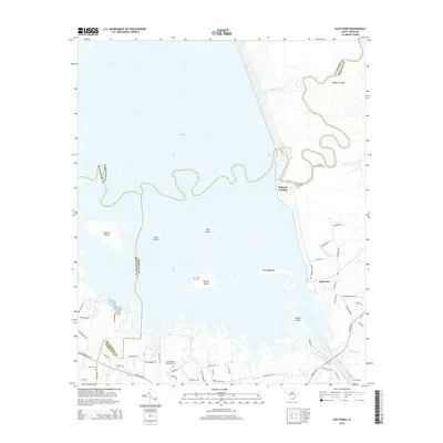
2014 Map of Eadytown
USGS Topo · Published 2014About this map
Lake Marion dominates this South Carolina landscape where the borders of Berkeley, Clarendon, and Orangeburg counties converge. The geography is defined by a complex network of wetlands and islands, including Sixteen Island, Bass Island, and the centrally located Church Island. This area preserves significant local history through its named sites, such as the Thomas Walter Grave near the Santee Canal, and several ancestral burial grounds including Bluefield Cem and the Mt Pleasant Plantation Cem. The settlement of Eadytown serves as a local hub, connected to the water at Wilsons Landing. The map illustrates the contemporary road network, from Highway 45 to rural reaches like Wilson Landing Rd, providing a detailed view of how modern habitation interfaces with the expansive reservoir and its fragmented shoreline.
Find a feature on this map
58 named features on this map. Tap any name to fly to it.
Don’t see what you’re looking for? This feature index may not catch every label — zoom into the map to look around manually.
Map Details
Editions of this 2014 Eadytown Map
This is the sole edition of this map. No revisions or reprints were ever made.
Other maps of this area

1920 · Eutawville
USGS Topo · 1:48,000

1920 · Chicora
USGS Topo · 1:48,000

1920 · Manning
USGS Topo · 1:48,000

1921 · Chicora
USGS Topo · 1:62,500

1921 · Manning
USGS Topo · 1:62,500

1921 · Eutawville
USGS Topo · 1:62,500

1943 · Chicora
USGS Topo · 1:62,500

1943 · Eutawville
USGS Topo · 1:62,500

1944 · Manning
USGS Topo · 1:62,500

1954 · Augusta
USGS Topo · 1:250,000