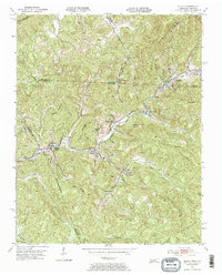
1953 Map of Eagan
USGS Topo · Published 1964About this map
Eagan and Clairfield serve as central nodes in this Cumberland Mountains landscape during the mid-1950s, where the Southern railway snakes through the valley of the Clear Fork. The topography is defined by the heavy footprint of the coal industry, with numerous Strip Mines and a large Loading Plant carved into the slopes of Teague Mountain and King Mountain. This survey documents a specific phase of extraction where industrial infrastructure sits in close proximity to community landmarks like Days Chapel and the Buffalo Sch.
Find a feature on this map
60 named features on this map. Tap any name to fly to it.
Don’t see what you’re looking for? This feature index may not catch every label — zoom into the map to look around manually.
Map Details
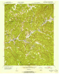
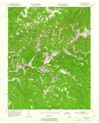
Editions of this 1953 Eagan Map
3 editions found
Other maps of this area

1886 · Cumberland Gap
USGS Topo · 1:125,000

1888 · Cumberland Gap
USGS Topo · 1:125,000

1890 · Williamsburg
USGS Topo · 1:125,000

1891 · Cumberland Gap
USGS Topo · 1:125,000

1893 · Briceville
USGS Topo · 1:125,000

1894 · Williamsburg
USGS Topo · 1:125,000

1895 · Briceville
USGS Topo · 1:125,000

1896 · Briceville
USGS Topo · 1:125,000

1897 · Maynardville
USGS Topo · 1:125,000

1900 · Maynardville
USGS Topo · 1:125,000