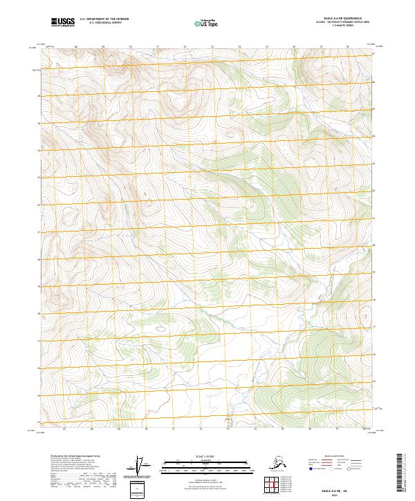
2024 Map of Eagle A-6 NE
USGS Topo · Published 2024About this map
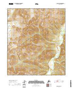
Middle Fork Fortymile River winds through this sparsely labeled portion of the Southeast Fairbanks Census Area, providing the primary geographical landmark in a region defined by high-elevation contours and complex township boundaries. The map illustrates the rugged transition between multiple survey grids, including portions of t8s r21e and t28n r9e. While the landscape lacks named settlements or developed infrastructure, the intricate drainage patterns of the Middle Fork Fortymile River and its unnamed tributaries reveal the natural corridors of this interior Alaskan territory. This 2024 edition reflects the modern state of the wilderness, where land management is delineated by the Public Land Survey System without the presence of established roads or buildings.
Find a feature on this map
9 named features on this map. Tap any name to fly to it.
Don’t see what you’re looking for? This feature index may not catch every label — zoom into the map to look around manually.
Map Details
Editions of this 2024 Eagle A-6 NE Map
This is the sole edition of this map. No revisions or reprints were ever made.
Other maps of this area

1951 · Eagle
USGS Topo · 1:250,000

1956 · Eagle A-5
USGS Topo · 1:63,360

1956 · Eagle B-5
USGS Topo · 1:63,360

1956 · Eagle A-6
USGS Topo · 1:63,360

1956 · Eagle B-6
USGS Topo · 1:63,360

1957 · Eagle
USGS Topo · 1:250,000
2018 · Eagle A-5 SW
USGS Topo · 1:25,000
2018 · Eagle A-6 SW
USGS Topo · 1:25,000
2018 · Eagle A-6 SE
USGS Topo · 1:25,000
2018 · Eagle B-5 SW
USGS Topo · 1:25,000