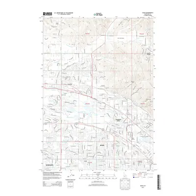
2013 Map of Eagle
USGS Topo · Published 2013About this map
The Boise River serves as the central artery of this suburban and agricultural landscape, bifurcating around Eagle Island where the Eagle Bridge connects the growing community of Eagle. This 2013 survey details the complex hydraulic infrastructure of the Treasure Valley, featuring an intricate network of irrigation channels including the Thurman Mill Canal, Settlers Canal, and Farmers Union Canal. These waterways underscore the region's transition from historic homesteading to modern residential development.
Find a feature on this map
52 named features on this map. Tap any name to fly to it.
Don’t see what you’re looking for? This feature index may not catch every label — zoom into the map to look around manually.
Map Details
Editions of this 2013 Eagle Map
This is the sole edition of this map. No revisions or reprints were ever made.
Other maps of this area

1892 · Boise
USGS Topo · 1:125,000

1897 · Boise
USGS Topo · 1:125,000

1953 · Eagle
USGS Topo · 1:24,000

1953 · Cloverdale
USGS Topo · 1:24,000

1953 · Meridian
USGS Topo · 1:24,000

1953 · Star
USGS Topo · 1:24,000

1953 · Montour
USGS Topo · 1:62,500

1954 · Boise South
USGS Topo · 1:24,000

1954 · Boise North
USGS Topo · 1:24,000

1954 · Boise
USGS Topo · 1:62,500