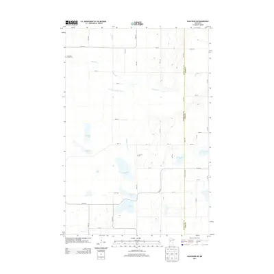
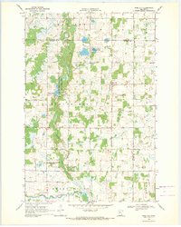
2013 Map of Eagle Bend NW
USGS Topo · Published 2013About this map
Glacial lake basins and agricultural drainage networks define this landscape along the border of Otter Tail and Todd counties. The winding course of the Wing River dominates the northern section, while the southern reaches are punctuated by a dense cluster of water bodies including W Annalaide Lake, E Annalaide Lake, and Lake Mary. Engineered waterways like County Ditch Number Thirteen and the Annalaide Lake Ditch illustrate the long-standing efforts to manage the high water table for farming in Eastern Township.
Find a feature on this map
44 named features on this map. Tap any name to fly to it.
Don’t see what you’re looking for? This feature index may not catch every label — zoom into the map to look around manually.
Map Details
Editions of this 2013 Eagle Bend NW Map
This is the sole edition of this map. No revisions or reprints were ever made.
Other maps of this area

1953 · Brainerd
USGS Topo · 1:250,000

1957 · Brainerd
USGS Topo · 1:250,000

1958 · Brainerd
USGS Topo · 1:250,000

1965 · Brainerd
USGS Topo · 1:250,000
1969 · Clotho
USGS Topo · 1:24,000
1969 · Lake Miltona East
USGS Topo · 1:24,000
1969 · Eagle Bend
USGS Topo · 1:24,000

1969 · Henning SE
USGS Topo · 1:24,000
1969 · Rose City
USGS Topo · 1:24,000

1969 · Bertha
USGS Topo · 1:24,000