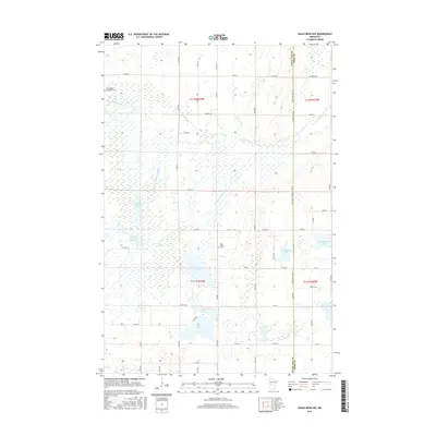
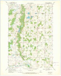
2016 Map of Eagle Bend NW
USGS Topo · Published 2016About this map
Wing River meanders through this portion of Eastern Township, where a complex network of glacial lakes and drainage infrastructure defines the rural landscape. The hydrologic system includes Annalaide Lake Ditch and County Ditch Number Thirteen, which connect local water bodies like W Annalaide Lake and E Annalaide Lake. This intricate drainage pattern reveals the 21st-century effort to manage the high water table for agricultural use in the region.
Find a feature on this map
60 named features on this map. Tap any name to fly to it.
Don’t see what you’re looking for? This feature index may not catch every label — zoom into the map to look around manually.
Map Details
Editions of this 2016 Eagle Bend NW Map
This is the sole edition of this map. No revisions or reprints were ever made.
Other maps of this area

1953 · Brainerd
USGS Topo · 1:250,000

1957 · Brainerd
USGS Topo · 1:250,000

1958 · Brainerd
USGS Topo · 1:250,000

1965 · Brainerd
USGS Topo · 1:250,000
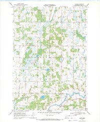
1969 · Clotho
USGS Topo · 1:24,000
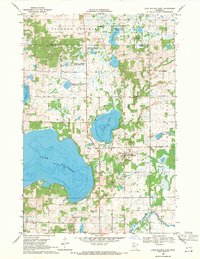
1969 · Lake Miltona East
USGS Topo · 1:24,000
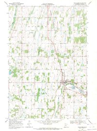
1969 · Eagle Bend
USGS Topo · 1:24,000

1969 · Henning SE
USGS Topo · 1:24,000
1969 · Rose City
USGS Topo · 1:24,000

1969 · Bertha
USGS Topo · 1:24,000