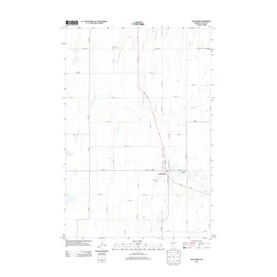
2013 Map of Eagle Bend
USGS Topo · Published 2013About this map
The village of Eagle Bend serves as the focal point for this landscape in Todd County, situated at the junction of Us-71 and Co Hwy-22. The area is characterized by its numerous small water bodies and drainage systems, including the Wing River in the northwest and the meandering Partridge River and Little Partridge River that flow through the central portion of the quadrangle. An extensive network of rural roads such as Palomino Rd and 390th St connects the outlying farmland to the town center.
Find a feature on this map
45 named features on this map. Tap any name to fly to it.
Don’t see what you’re looking for? This feature index may not catch every label — zoom into the map to look around manually.
Map Details
Editions of this 2013 Eagle Bend Map
This is the sole edition of this map. No revisions or reprints were ever made.
Other maps of this area

1953 · Brainerd
USGS Topo · 1:250,000

1957 · Brainerd
USGS Topo · 1:250,000

1958 · Brainerd
USGS Topo · 1:250,000

1965 · Brainerd
USGS Topo · 1:250,000
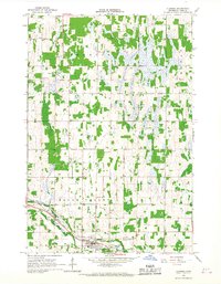
1966 · Clarissa
USGS Topo · 1:24,000
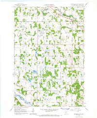
1966 · Browerville SW
USGS Topo · 1:24,000

1966 · Aldrich South
USGS Topo · 1:24,000
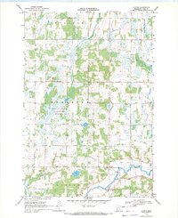
1969 · Clotho
USGS Topo · 1:24,000
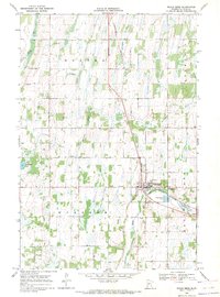
1969 · Eagle Bend
USGS Topo · 1:24,000
1969 · Rose City
USGS Topo · 1:24,000