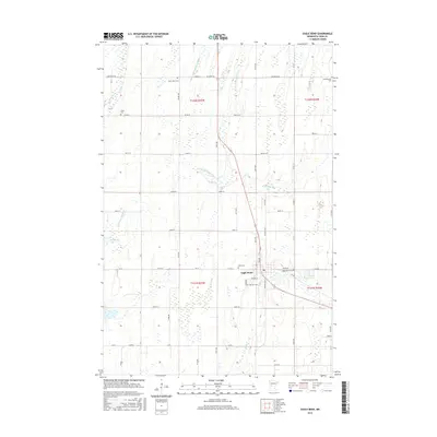
2016 Map of Eagle Bend
USGS Topo · Published 2016About this map
Eagle Bend serves as the central hub of this west-central Minnesota landscape, situated where the Eagle Cr and Partridge River drainage systems converge. The 2016 survey illustrates a community deeply connected to its rural roots, with a high density of local cemeteries that reflect the area's diverse ethnic and denominational heritage. From the German Cem and Scandinavian Cem to the Saint Johns Cem and Bonar Cem, these sites offer significant data for genealogists tracing family lineages in Todd County.
Find a feature on this map
39 named features on this map. Tap any name to fly to it.
Don’t see what you’re looking for? This feature index may not catch every label — zoom into the map to look around manually.
Map Details
Editions of this 2016 Eagle Bend Map
This is the sole edition of this map. No revisions or reprints were ever made.
Other maps of this area

1953 · Brainerd
USGS Topo · 1:250,000

1957 · Brainerd
USGS Topo · 1:250,000

1958 · Brainerd
USGS Topo · 1:250,000

1965 · Brainerd
USGS Topo · 1:250,000
1966 · Clarissa
USGS Topo · 1:24,000
1966 · Browerville SW
USGS Topo · 1:24,000

1966 · Aldrich South
USGS Topo · 1:24,000
1969 · Clotho
USGS Topo · 1:24,000
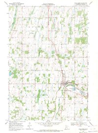
1969 · Eagle Bend
USGS Topo · 1:24,000
1969 · Rose City
USGS Topo · 1:24,000