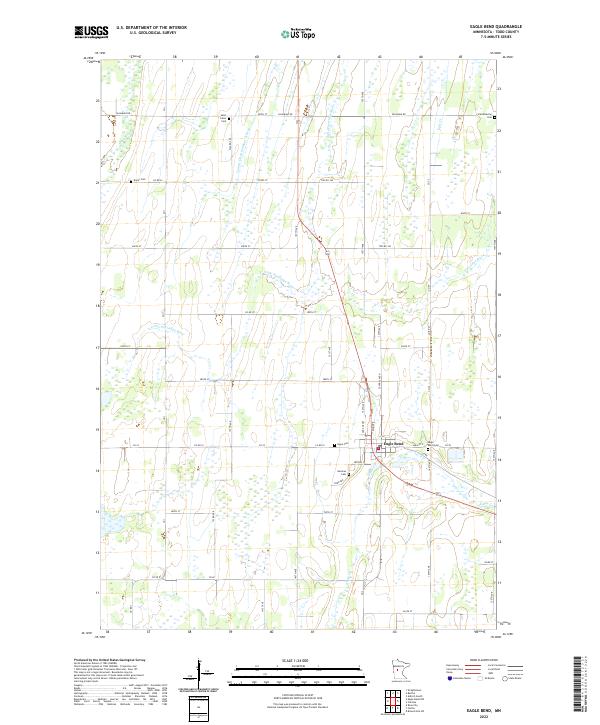
2022 Map of Eagle Bend
USGS Topo · Published 2022About this map
Eagle Bend serves as the primary hub of this Todd County landscape, where the local economy and geography are defined by a network of drainage ditches and meandering waterways. The Little Partridge River and Wing River cross the township lines, joined by engineered waterways like County Ditch Number Fifteen that illustrate the region's agricultural drainage history. Genealogists will find an unusually high density of burial sites for a rural township, including the Saint Johns Cem, Scandinavian Cem, and German Cem, which reflect the diverse immigrant heritage of the settlers who established these farmsteads. The village center is bordered by Hope Cem and the Eagle Bend Cem, while further out, the isolated Bonar Cem marks an older corner of the community. This 2022 survey details the precise modern road grid, from Palomino Rd to 344th St, that connects these historical landmarks.
Find a feature on this map
37 named features on this map. Tap any name to fly to it.
Don’t see what you’re looking for? This feature index may not catch every label — zoom into the map to look around manually.
Map Details
Editions of this 2022 Eagle Bend Map
This is the sole edition of this map. No revisions or reprints were ever made.
Other maps of this area

1953 · Brainerd
USGS Topo · 1:250,000

1957 · Brainerd
USGS Topo · 1:250,000

1958 · Brainerd
USGS Topo · 1:250,000

1965 · Brainerd
USGS Topo · 1:250,000
1966 · Clarissa
USGS Topo · 1:24,000
1966 · Browerville SW
USGS Topo · 1:24,000

1966 · Aldrich South
USGS Topo · 1:24,000
1969 · Clotho
USGS Topo · 1:24,000
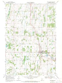
1969 · Eagle Bend
USGS Topo · 1:24,000
1969 · Rose City
USGS Topo · 1:24,000