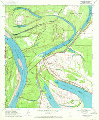
1970 Map of Eagle Bend
USGS Topo · Published 1972About this map
Chotard Lake and the serpentine curves of the Mississippi River dominate this delta landscape, where state and parish lines frequently shift across the water. The complex hydrologic history of the region is evident in the numerous oxbows and cutoffs, such as Willow Cutoff and Eagle Lake, which isolate large landmasses like Henderson Island and Australia Island. These islands, often fragmented by intricate boundaries between Louisiana and Mississippi, reflect the volatile nature of the river's path before modern levee systems. Near the settlement of Brunswick, the community is anchored by Mt Olive Ch and Brunswick Cem, while the Brunswick Circle road provides local access. Further south, the map reveals the small landing at Eagle Bend, positioned near the Kiger Cem at the edge of the expansive lake system, illustrating the isolated, water-bound character of these riverbank communities in the early 1970s.
Find a feature on this map
38 named features on this map. Tap any name to fly to it.
Don’t see what you’re looking for? This feature index may not catch every label — zoom into the map to look around manually.
Map Details
Editions of this 1970 Eagle Bend Map
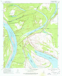
2 editions found
Other maps of this area

1909 · Millikens Bend
USGS Topo · 1:24,000

1909 · Tallulah
USGS Topo · 1:24,000

1918 · Vicksburg
USGS Topo · 1:62,500

1939 · Onward
USGS Topo · 1:62,500

1939 · Talla Bena
USGS Topo · 1:62,500

1939 · Alsatia
USGS Topo · 1:62,500

1941 · Vicksburg
USGS Topo · 1:62,500

1955 · Jackson
USGS Topo · 1:250,000

1961 · Jackson
USGS Topo · 1:250,000

1962 · Jackson
USGS Topo · 1:250,000