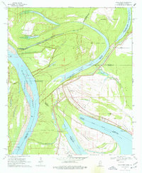
1970 Map of Eagle Bend
USGS Topo · Published 1977About this map
The Mississippi River creates a labyrinthine boundary between Louisiana and Mississippi on this 1970s survey, where the river's historical shifts have left a legacy of oxbow lakes and isolated land masses. Large interior islands like Henderson Island and Australia Island are defined by the river’s main channel and backwater features like the Willow Cutoff. This landscape is dominated by water, with Chotard Lake, Tennessee Lake, and Eagle Lake serving as prominent remnants of the river's former path.
Find a feature on this map
36 named features on this map. Tap any name to fly to it.
Don’t see what you’re looking for? This feature index may not catch every label — zoom into the map to look around manually.
Map Details
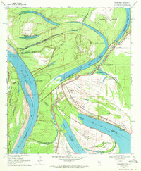
Editions of this 1970 Eagle Bend Map
2 editions found
Other maps of this area

1909 · Millikens Bend
USGS Topo · 1:24,000

1909 · Tallulah
USGS Topo · 1:24,000

1918 · Vicksburg
USGS Topo · 1:62,500

1939 · Onward
USGS Topo · 1:62,500

1939 · Talla Bena
USGS Topo · 1:62,500

1939 · Alsatia
USGS Topo · 1:62,500

1941 · Vicksburg
USGS Topo · 1:62,500

1955 · Jackson
USGS Topo · 1:250,000

1961 · Jackson
USGS Topo · 1:250,000

1962 · Jackson
USGS Topo · 1:250,000