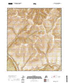
2018 Map of Eagle C-1 SE
USGS Topo · Published 2018About this map
The Mertie Mountains dominate the high-elevation landscape in this corner of the Southeast Fairbanks Census Area, where steep drainage systems carve through the interior. Waterways such as Boundary Creek and Quartz Creek define the northern drainages, while the southern reaches are shaped by the Liberty Fork O'Brien Creek and N Fork O'Brien Creek. This topographic study reveals a wilderness largely devoid of modern infrastructure, where the primary landmarks are the natural ridges and the winding path of King Solomon Creek. The map provides a detailed view of the terrain before any significant development reached these high latitudes, preserving the character of the subarctic uplands.
Find a feature on this map
13 named features on this map. Tap any name to fly to it.
Don’t see what you’re looking for? This feature index may not catch every label — zoom into the map to look around manually.
Map Details
Editions of this 2018 Eagle C-1 SE Map
This is the sole edition of this map. No revisions or reprints were ever made.
Other maps of this area

1899 · Fortymile
USGS Topo · 1:250,000

1951 · Eagle
USGS Topo · 1:250,000

1956 · Eagle C-1
USGS Topo · 1:63,360

1956 · Eagle B-1
USGS Topo · 1:63,360

1957 · Eagle
USGS Topo · 1:250,000
2018 · Eagle B-1 NW
USGS Topo · 1:25,000
2018 · Eagle B-1 NE
USGS Topo · 1:25,000
2018 · Eagle C-1 NE
USGS Topo · 1:25,000
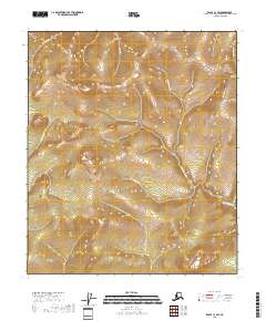
2018 · Eagle C-1 SW
USGS Topo · 1:25,000
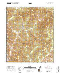
2018 · Eagle C-1 NW
USGS Topo · 1:25,000