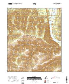
2018 Map of Eagle C-1 NE
USGS Topo · Published 2018About this map
Eagle Village sits perched above the western bank of the Yukon River, serving as a primary settlement point in this interior Alaskan corridor. The topography is defined by significant elevation changes, with drainage systems like American Cr and Bluff Cr carving through the high country towards the river valley. The presence of Mission Road provides a singular terrestrial link parallel to the river's path, connecting the village to the surrounding terrain and local drainages such as Cuban Gulch and Castalia Cr. This 2018 survey illustrates a landscape where human infrastructure is concentrated near the water, while the interior remains a complex network of ridgelines and stream valleys.
Find a feature on this map
10 named features on this map. Tap any name to fly to it.
Don’t see what you’re looking for? This feature index may not catch every label — zoom into the map to look around manually.
Map Details
Editions of this 2018 Eagle C-1 NE Map
This is the sole edition of this map. No revisions or reprints were ever made.
Other maps of this area

1899 · Fortymile
USGS Topo · 1:250,000

1951 · Eagle
USGS Topo · 1:250,000

1956 · Eagle C-1
USGS Topo · 1:63,360
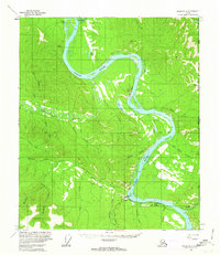
1956 · Eagle D-1
USGS Topo · 1:63,360

1957 · Eagle
USGS Topo · 1:250,000
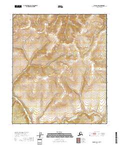
2018 · Eagle C-1 SE
USGS Topo · 1:25,000
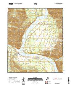
2018 · Eagle D-1 SE
USGS Topo · 1:25,000
2018 · Eagle C-1 SW
USGS Topo · 1:25,000
2018 · Eagle D-1 SW
USGS Topo · 1:25,000
2018 · Eagle C-1 NW
USGS Topo · 1:25,000