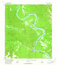
1956 Map of Eagle D-1
USGS Topo · Published 1963About this map
Eagle sits as a vital riverside hub along the southern banks of the Yukon River, documented here during the mid-1950s. The landscape is defined by the sharp convergence of the Seventymile River and Mission Creek with the Yukon, highlighting the strategic positioning of Eagle Village and the nearby Landing Strip and Gaging Sta. The presence of the Taylor Highway and various Tractor Trails indicates the region's reliance on these few overland arteries for connecting remote outposts and local resources.
Find a feature on this map
44 named features on this map. Tap any name to fly to it.
Don’t see what you’re looking for? This feature index may not catch every label — zoom into the map to look around manually.
Map Details
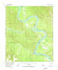
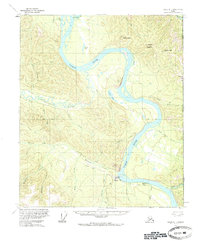
Editions of this 1956 Eagle D-1 Map
3 editions found
Other maps of this area

1899 · Fortymile
USGS Topo · 1:250,000

1951 · Charley River
USGS Topo · 1:250,000

1951 · Eagle
USGS Topo · 1:250,000

1956 · Charley River A-2
USGS Topo · 1:63,360

1956 · Charley River A-1
USGS Topo · 1:63,360

1956 · Charley River
USGS Topo · 1:250,000

1956 · Eagle C-1
USGS Topo · 1:63,360

1956 · Eagle D-2
USGS Topo · 1:63,360

1956 · Eagle C-2
USGS Topo · 1:63,360

1957 · Eagle
USGS Topo · 1:250,000