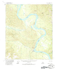
1956 Map of Eagle D-1
USGS Topo · Published 1984About this map
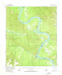
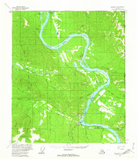
The Yukon River winds through the heart of this mid-century subarctic landscape, serving as the primary corridor for movement and settlement along the United States Canada border. The community of Eagle and the nearby Eagle Village anchor the southern portion of the sheet, where the Taylor Highway terminates at the river's edge. This area reflects a critical juncture of land and water transport, evidenced by the Landing Strip, a Gaging Sta, and a network of Tractor Trails extending into the back country. The confluence of Mission Creek and the Yukon is shadowed by Eagle Bluff, while further north, the river is constricted by the striking Calico Bluff. Away from the main channel, the Seventymile River and the Tatonduk R cut through high terrain marked by Adams Peak and the Limestone Hogback, illustrating the drainage patterns that defined local navigation and early mining access.
Find a feature on this map
41 named features on this map. Tap any name to fly to it.
Don’t see what you’re looking for? This feature index may not catch every label — zoom into the map to look around manually.
Map Details
Editions of this 1956 Eagle D-1 Map
3 editions found
Other maps of this area

1899 · Fortymile
USGS Topo · 1:250,000

1951 · Charley River
USGS Topo · 1:250,000

1951 · Eagle
USGS Topo · 1:250,000

1956 · Charley River A-2
USGS Topo · 1:63,360

1956 · Charley River A-1
USGS Topo · 1:63,360

1956 · Charley River
USGS Topo · 1:250,000

1956 · Eagle C-1
USGS Topo · 1:63,360

1956 · Eagle D-2
USGS Topo · 1:63,360

1956 · Eagle C-2
USGS Topo · 1:63,360
1956 · Eagle D-1
USGS Topo · 1:63,360