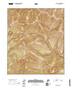
2018 Map of Eagle C-1 SW
USGS Topo · Published 2018About this map
King Solomon Cr and its tributaries define the high-elevation drainage patterns in this corner of Southeast Fairbanks. This 2018 survey documents a remote landscape where water courses carry names suggestive of the region's prospecting history, such as Queen of Sheba Cr and Teddys Fork. The topography is dominated by steep ridges and narrow valleys, with the headwaters of Little Champion Cr and Dome Cr cutting through the terrain.
Find a feature on this map
13 named features on this map. Tap any name to fly to it.
Don’t see what you’re looking for? This feature index may not catch every label — zoom into the map to look around manually.
Map Details
Editions of this 2018 Eagle C-1 SW Map
This is the sole edition of this map. No revisions or reprints were ever made.
Other maps of this area

1899 · Fortymile
USGS Topo · 1:250,000

1951 · Eagle
USGS Topo · 1:250,000

1956 · Eagle C-1
USGS Topo · 1:63,360

1956 · Eagle C-2
USGS Topo · 1:63,360

1956 · Eagle B-2
USGS Topo · 1:63,360

1956 · Eagle B-1
USGS Topo · 1:63,360

1957 · Eagle
USGS Topo · 1:250,000
2018 · Eagle C-2 SE
USGS Topo · 1:25,000
2018 · Eagle C-1 SE
USGS Topo · 1:25,000
2018 · Eagle B-1 NW
USGS Topo · 1:25,000