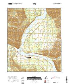
2018 Map of Eagle D-1 SE
USGS Topo · Published 2018About this map
Eagle sits along the southern bank of the Yukon River within the Southeast Fairbanks Census Area, serving as a critical point of access to this subarctic interior region. The landscape is defined by the significant elevation of Eagle Bluff and the rising slopes of the Mertie Mountains to the northwest. This topography dictates the local infrastructure, with Mission Road and Campground Road connecting the riverfront settlement to its surrounding environment.
Find a feature on this map
25 named features on this map. Tap any name to fly to it.
Don’t see what you’re looking for? This feature index may not catch every label — zoom into the map to look around manually.
Map Details
Editions of this 2018 Eagle D-1 SE Map
This is the sole edition of this map. No revisions or reprints were ever made.
Other maps of this area

1899 · Fortymile
USGS Topo · 1:250,000

1951 · Eagle
USGS Topo · 1:250,000

1956 · Eagle C-1
USGS Topo · 1:63,360
1956 · Eagle D-1
USGS Topo · 1:63,360

1957 · Eagle
USGS Topo · 1:250,000
2018 · Eagle C-1 NE
USGS Topo · 1:25,000
2018 · Eagle D-1 SW
USGS Topo · 1:25,000
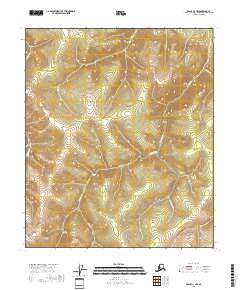
2018 · Eagle C-1 NW
USGS Topo · 1:25,000
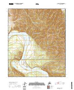
2018 · Eagle D-1 NE
USGS Topo · 1:25,000
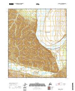
2018 · Eagle D-1 NW
USGS Topo · 1:25,000