
2018 Map of Eagle D-1 NE
USGS Topo · Published 2018About this map
The Yukon River carves a massive course through this subarctic landscape, dominating the southwestern portion of the Yukon-Charley Rivers National Preserve. This 2018 survey reveals the intricate hydrography of the river corridor, including the slow waters of Pickerel Slough and the isolated Ford Lake situated on the western bank. The terrain rises sharply from the riverbanks toward distinctive geological formations like Calico Bluff and the aptly named Limestone Hogback. Higher elevations are defined by isolated summits such as Adams Peak and Hillard Peak, which provide topographic contrast to the drainage basins of Thurston Creek and the Tatonduk River in the north. The map documents a wilderness largely defined by its natural drainage patterns and the sheer scale of its landforms near the border of the Southeast Fairbanks Census Area.
Find a feature on this map
17 named features on this map. Tap any name to fly to it.
Don’t see what you’re looking for? This feature index may not catch every label — zoom into the map to look around manually.
Map Details
Editions of this 2018 Eagle D-1 NE Map
This is the sole edition of this map. No revisions or reprints were ever made.
Other maps of this area

1899 · Fortymile
USGS Topo · 1:250,000

1951 · Charley River
USGS Topo · 1:250,000

1951 · Eagle
USGS Topo · 1:250,000

1956 · Charley River A-1
USGS Topo · 1:63,360

1956 · Charley River
USGS Topo · 1:250,000
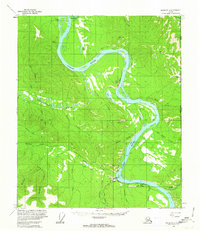
1956 · Eagle D-1
USGS Topo · 1:63,360

1957 · Eagle
USGS Topo · 1:250,000
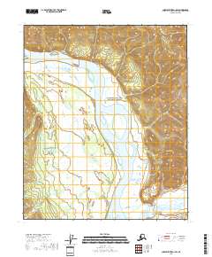
2018 · Charley River A-1 SW
USGS Topo · 1:25,000
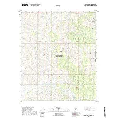
2018 · Charley River A-1 SE
USGS Topo · 1:25,000
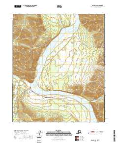
2018 · Eagle D-1 SE
USGS Topo · 1:25,000