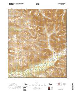
2018 Map of Eagle D-4 SW
USGS Topo · Published 2018About this map
Yukon-Charley Rivers National Preserve covers a significant portion of this high-latitude terrain, where the topography is defined by intricate drainages and steep ridgelines. The northern reaches are carved by the headwaters of Diamond Fork, while the southern area is marked by the winding course of Copper Cr. This 2018 survey reveals a landscape largely devoid of permanent human infrastructure, emphasizing the natural hydrography and public land boundaries that govern this part of the Southeast Fairbanks Census Area. The absence of roads or established settlements reflects the remote nature of the preserve, where traditional land use and environmental conservation intersect in one of the most sparsely populated regions of Alaska.
Find a feature on this map
10 named features on this map. Tap any name to fly to it.
Don’t see what you’re looking for? This feature index may not catch every label — zoom into the map to look around manually.
Map Details
Editions of this 2018 Eagle D-4 SW Map
This is the sole edition of this map. No revisions or reprints were ever made.
Other maps of this area

1951 · Eagle
USGS Topo · 1:250,000
1956 · Eagle D-5
USGS Topo · 1:63,360
1956 · Eagle D-4
USGS Topo · 1:63,360

1956 · Eagle C-5
USGS Topo · 1:63,360
1956 · Eagle C-4
USGS Topo · 1:63,360

1957 · Eagle
USGS Topo · 1:250,000
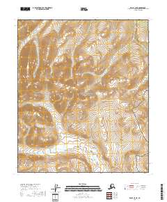
2018 · Eagle C-5 NE
USGS Topo · 1:25,000
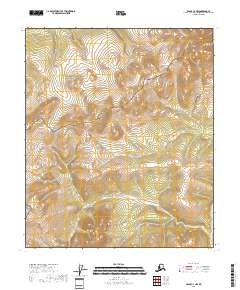
2018 · Eagle C-4 NW
USGS Topo · 1:25,000
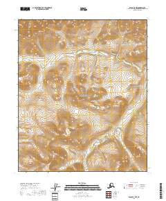
2018 · Eagle D-4 NW
USGS Topo · 1:25,000
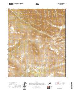
2018 · Eagle D-5 NE
USGS Topo · 1:25,000