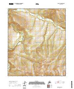
2018 Map of Eagle D-5 SW
USGS Topo · Published 2018About this map
The Charley River carves through the southwestern corner of this map, serving as a primary drainage for the surrounding highlands within the Yukon-Charley Rivers National Preserve. This landscape is characterized by its hydrological network, where small tributaries like Copper Cr and Godge Cr flow through the interior. The presence of the boundary between the Southeast Fairbanks Census Area and the Yukon-Koyukuk Census Area marks a transition between administrative regions in this part of Alaska. This 2018 survey reveals a terrain defined by its watercourses rather than human settlements, reflecting the remote and preserved nature of the river corridor.
Find a feature on this map
11 named features on this map. Tap any name to fly to it.
Don’t see what you’re looking for? This feature index may not catch every label — zoom into the map to look around manually.
Map Details
Editions of this 2018 Eagle D-5 SW Map
This is the sole edition of this map. No revisions or reprints were ever made.
Other maps of this area

1951 · Eagle
USGS Topo · 1:250,000
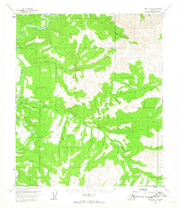
1956 · Eagle D-5
USGS Topo · 1:63,360

1956 · Eagle C-6
USGS Topo · 1:63,360

1956 · Eagle C-5
USGS Topo · 1:63,360
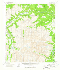
1956 · Eagle D-6
USGS Topo · 1:63,360

1957 · Eagle
USGS Topo · 1:250,000
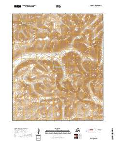
2018 · Eagle C-5 NW
USGS Topo · 1:25,000
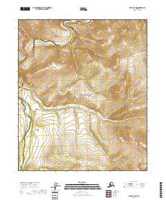
2018 · Eagle D-5 NW
USGS Topo · 1:25,000
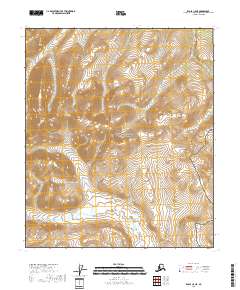
2018 · Eagle C-5 NE
USGS Topo · 1:25,000
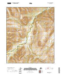
2018 · Eagle C-6 NE
USGS Topo · 1:25,000