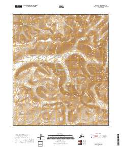
2018 Map of Eagle C-5 NW
USGS Topo · Published 2018About this map
The interior wilderness of the Yukon-Charley Rivers National Preserve dominates this 2018 topographic study of the Southeast Fairbanks Census Area. The landscape is defined by the high elevations of the Yukon-Tanana Uplands, where significant peaks such as Coldbar Mtn and Copper Mtn anchor the eastern boundary of the sheet. The terrain is characterized by a dense network of high ridges and deep drainages, mapped in detail through the 40-foot contour intervals of the National Elevation Dataset. This particular quadrangle covers a transition zone of high-latitude peaks without modern road infrastructure, reflecting the preserved and remote character of this region of Alaska. The Public Land Survey System grid lines for t2s r21e, t2s r22e, t3s r21e, and t3s r22e provide the primary spatial framework for this undeveloped wilderness area.
Find a feature on this map
7 named features on this map. Tap any name to fly to it.
Don’t see what you’re looking for? This feature index may not catch every label — zoom into the map to look around manually.
Map Details
Editions of this 2018 Eagle C-5 NW Map
This is the sole edition of this map. No revisions or reprints were ever made.
Other maps of this area

1951 · Eagle
USGS Topo · 1:250,000
1956 · Eagle D-5
USGS Topo · 1:63,360

1956 · Eagle C-6
USGS Topo · 1:63,360

1956 · Eagle C-5
USGS Topo · 1:63,360
1956 · Eagle D-6
USGS Topo · 1:63,360

1957 · Eagle
USGS Topo · 1:250,000
2018 · Eagle D-5 SW
USGS Topo · 1:25,000
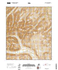
2018 · Eagle C-5 NE
USGS Topo · 1:25,000
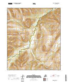
2018 · Eagle C-6 NE
USGS Topo · 1:25,000
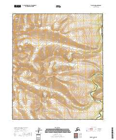
2018 · Eagle D-6 SE
USGS Topo · 1:25,000