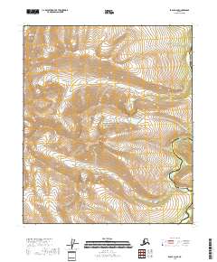
2018 Map of Eagle D-6 SE
USGS Topo · Published 2018About this map
The Yukon-Charley Rivers National Preserve dominates this section of the interior, protecting a wilderness landscape defined by sharp elevation shifts and winding waterways. The Charley River meanders through the eastern portion of the quadrangle, carving a path through the high country where the Mertie Mountains rise in the northwest. Significant topographical landmarks like Cut Mtn provide essential orientation points in a territory largely devoid of modern development or permanent roads. The map illustrates the administrative transition between the Southeast Fairbanks and Yukon-Koyukuk Census Areas, marking a remote boundary line within the Alaskan bush. This 2018 survey captures the unchanged character of the preserve, emphasizing natural drainages and mountain peaks rather than human infrastructure.
Find a feature on this map
11 named features on this map. Tap any name to fly to it.
Don’t see what you’re looking for? This feature index may not catch every label — zoom into the map to look around manually.
Map Details
Editions of this 2018 Eagle D-6 SE Map
This is the sole edition of this map. No revisions or reprints were ever made.
Other maps of this area

1951 · Eagle
USGS Topo · 1:250,000
1956 · Eagle D-5
USGS Topo · 1:63,360

1956 · Eagle C-6
USGS Topo · 1:63,360

1956 · Eagle C-5
USGS Topo · 1:63,360
1956 · Eagle D-6
USGS Topo · 1:63,360

1957 · Eagle
USGS Topo · 1:250,000
2018 · Eagle C-5 NW
USGS Topo · 1:25,000
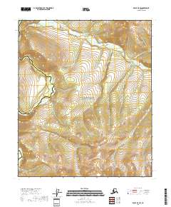
2018 · Eagle D-5 SW
USGS Topo · 1:25,000
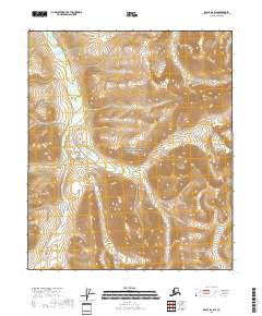
2018 · Eagle D-6 SW
USGS Topo · 1:25,000
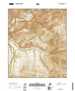
2018 · Eagle D-5 NW
USGS Topo · 1:25,000