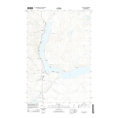
2014 Map of Eagle Lake
USGS Topo · Published 2014About this map
Eagle Lake and the winding Fish River dominate this Aroostook County landscape, where the water system dictates the pattern of local settlement. The village of Eagle Lake serves as a central hub, connected to the smaller community of Plaisted to the north by the primary corridor of Aroostook Rd. This transportation route closely follows the shoreline, passing several family-named landmarks such as Browns Point, Boyles Point, and Seymours Point.
Find a feature on this map
51 named features on this map. Tap any name to fly to it.
Don’t see what you’re looking for? This feature index may not catch every label — zoom into the map to look around manually.
Map Details
Editions of this 2014 Eagle Lake Map
This is the sole edition of this map. No revisions or reprints were ever made.
Other maps of this area

1927 · Square Lake
USGS Topo · 1:48,000

1928 · Eagle Lake
USGS Topo · 1:48,000

1928 · Winterville
USGS Topo · 1:48,000

1929 · Portage
USGS Topo · 1:62,500

1931 · Square Lake
USGS Topo · 1:62,500

1931 · Eagle Lake
USGS Topo · 1:62,500

1931 · Portage
USGS Topo · 1:62,500

1931 · Winterville
USGS Topo · 1:62,500

1953 · Square Lake
USGS Topo · 1:62,500

1953 · Portage
USGS Topo · 1:62,500