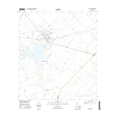
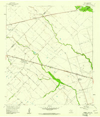
2016 Map of Eagle Lake
USGS Topo · Published 2016About this map
Eagle Lake serves as the centerpiece of this West Texas landscape, surrounded by a network of drainage features such as W Bernard Cr and Gum Tree Br. The town of Eagle Lake is shown with its grid of streets and the nearby Eagle Lake Airport to the north. Local history and genealogy are well-represented by the inclusion of Lakeside Cem near the water's edge and Mount Zion Cem further south.
Find a feature on this map
90 named features on this map. Tap any name to fly to it.
Don’t see what you’re looking for? This feature index may not catch every label — zoom into the map to look around manually.
Map Details
Editions of this 2016 Eagle Lake Map
This is the sole edition of this map. No revisions or reprints were ever made.
Other maps of this area
1952 · Egypt
USGS Topo · 1:24,000

1953 · Seguin
USGS Topo · 1:250,000
1956 · Wallis
USGS Topo · 1:62,500
1957 · Eagle Lake
USGS Topo · 1:62,500
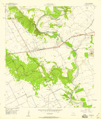
1957 · Altair
USGS Topo · 1:24,000

1958 · Seguin
USGS Topo · 1:250,000
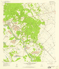
1958 · Alleyton
USGS Topo · 1:24,000
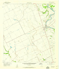
1959 · Garwood
USGS Topo · 1:24,000
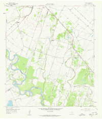
1959 · Bonus
USGS Topo · 1:24,000
1960 · Lissie
USGS Topo · 1:24,000