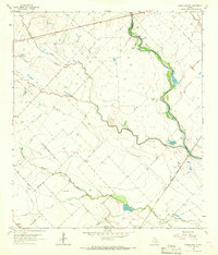
1963 Map of Eagle Lake NE
USGS Topo · Published 1966About this map
The San Bernard River winds through the borderlands of Colorado and Austin Counties, forming a natural boundary that defines the local topography. This 1960s landscape is characterized by a network of drainage systems, including Coushatta Creek and Middle Bernard Creek, which carve through the terrain toward the main river channel. Small rural clusters and junctions like Bernardo, Beard, and Lafitte are connected by a grid of unimproved roads and light-duty paths, reflecting a traditional agricultural and ranching layout.
Find a feature on this map
18 named features on this map. Tap any name to fly to it.
Don’t see what you’re looking for? This feature index may not catch every label — zoom into the map to look around manually.
Map Details
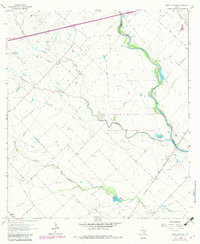
Editions of this 1963 Eagle Lake NE Map
2 editions found
Other maps of this area

1953 · Seguin
USGS Topo · 1:250,000

1956 · Bellville
USGS Topo · 1:62,500

1956 · Sealy
USGS Topo · 1:62,500

1956 · Wallis
USGS Topo · 1:62,500

1957 · Eagle Lake
USGS Topo · 1:62,500

1957 · Altair
USGS Topo · 1:24,000

1958 · Seguin
USGS Topo · 1:250,000

1958 · Bernardo
USGS Topo · 1:24,000

1958 · Alleyton
USGS Topo · 1:24,000

1960 · Lissie
USGS Topo · 1:24,000