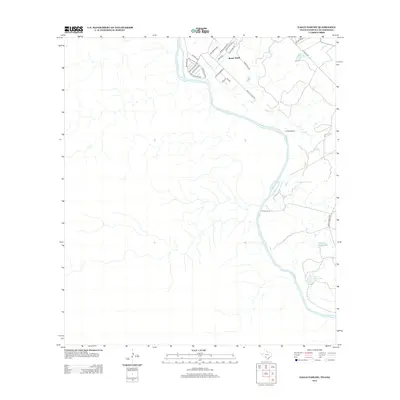
2012 Map of Eagle Pass SW
USGS Topo · Published 2012About this map
The Rio Grande meanders along the international border in this 2012 depiction of the South Texas brush country. Settlement is concentrated primarily in the residential grid of Rosita South, where local thoroughfares like Lisa Blvd and Victoriano Ave intersect near the river's edge. This modern survey illustrates the persistent agricultural and ranching footprint of Maverick County, notably at the M Frank Farm and the La Rosita Ranch.
Find a feature on this map
26 named features on this map. Tap any name to fly to it.
Don’t see what you’re looking for? This feature index may not catch every label — zoom into the map to look around manually.
Map Details
Editions of this 2012 Eagle Pass SW Map
This is the sole edition of this map. No revisions or reprints were ever made.
Other maps of this area

1940 · Eagle Pass
USGS Topo · 1:62,500

1957 · Indio Creek
USGS Topo · 1:62,500

1958 · Eagle Pass
USGS Topo · 1:250,000

1965 · Eagle Pass
USGS Topo · 1:250,000
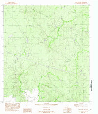
1982 · Eagle Pass NE
USGS Topo · 1:24,000
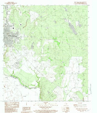
1983 · Eagle Pass East
USGS Topo · 1:24,000
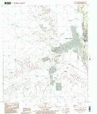
1983 · Eagle Pass West
USGS Topo · 1:24,000
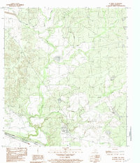
1983 · El Indio
USGS Topo · 1:24,000
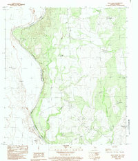
1983 · Indio Creek
USGS Topo · 1:24,000
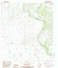
1983 · Eagle Pass SW
USGS Topo · 1:24,000
Featured Places
- Rosita, TX
- Riverside Acres Colonia, TX
- Loma Linda Ranchettes Colonia, TX
- Loma Linda Number 3 Colonia, TX