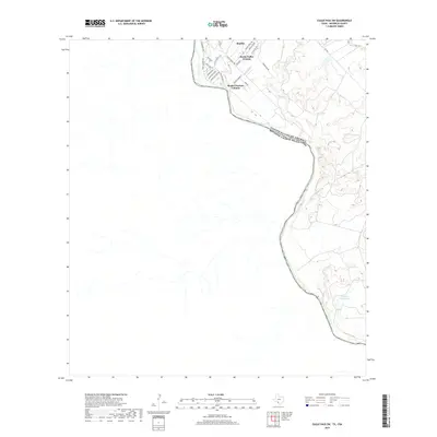
2019 Map of Eagle Pass SW
USGS Topo · Published 2019About this map
The Rio Grande serves as a stark natural boundary between the United States and Mexico in this South Texas borderland. Clustered near the river’s edge, residential developments like Rosita, Rosita Valley Colonia, and Rosita Gardens Colonia illustrate the characteristic colonia settlement pattern of Maverick County. These communities are defined by a grid of local roads, including Lucky Eagle Trl and Bishop Gracida Dr, which branch off from FM 1021. To the east, the terrain becomes less densely settled, dominated by the drainage of Rosita Cr and the presence of El Indio Farms Lake. The map details a landscape where residential expansion meets the traditional ranching and farming uses of the Rio Grande valley, providing a clear record of local infrastructure and land divisions in the late 2010s.
Find a feature on this map
25 named features on this map. Tap any name to fly to it.
Don’t see what you’re looking for? This feature index may not catch every label — zoom into the map to look around manually.
Map Details
Editions of this 2019 Eagle Pass SW Map
This is the sole edition of this map. No revisions or reprints were ever made.
Other maps of this area

1940 · Eagle Pass
USGS Topo · 1:62,500

1957 · Indio Creek
USGS Topo · 1:62,500

1958 · Eagle Pass
USGS Topo · 1:250,000

1965 · Eagle Pass
USGS Topo · 1:250,000
1982 · Eagle Pass NE
USGS Topo · 1:24,000
1983 · Eagle Pass East
USGS Topo · 1:24,000
1983 · Eagle Pass West
USGS Topo · 1:24,000
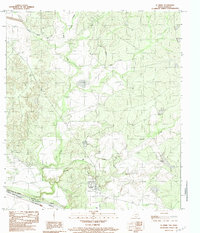
1983 · El Indio
USGS Topo · 1:24,000
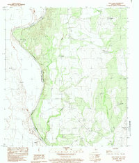
1983 · Indio Creek
USGS Topo · 1:24,000
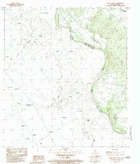
1983 · Eagle Pass SW
USGS Topo · 1:24,000
Featured Places
- Rosita, TX
- Riverside Acres Colonia, TX
- Loma Linda Ranchettes Colonia, TX
- Loma Linda Number 3 Colonia, TX