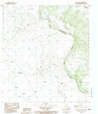
1983 Map of Eagle Pass SW
USGS Topo · Published 1983About this map
The Rio Grande Rio Bravo marks the international boundary in this early 1980s provisional survey, revealing a landscape of scattered ranching settlements and border infrastructure. The map details the Texas side in Maverick Co, where the Maverick County Canal cuts through the terrain near Rosita Creek. On the Mexican side, a denser network of named locales appears, including San Carlos, Rincón de San Nicolás, and El Saucito.
Find a feature on this map
28 named features on this map. Tap any name to fly to it.
Don’t see what you’re looking for? This feature index may not catch every label — zoom into the map to look around manually.
Map Details
Editions of this 1983 Eagle Pass SW Map
This is the sole edition of this map. No revisions or reprints were ever made.
Other maps of this area

1940 · Eagle Pass
USGS Topo · 1:62,500

1957 · Indio Creek
USGS Topo · 1:62,500

1958 · Eagle Pass
USGS Topo · 1:250,000

1965 · Eagle Pass
USGS Topo · 1:250,000
1982 · Eagle Pass NE
USGS Topo · 1:24,000
1983 · Eagle Pass East
USGS Topo · 1:24,000
1983 · Eagle Pass West
USGS Topo · 1:24,000
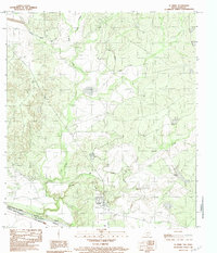
1983 · El Indio
USGS Topo · 1:24,000
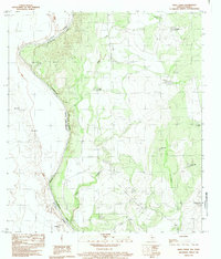
1983 · Indio Creek
USGS Topo · 1:24,000
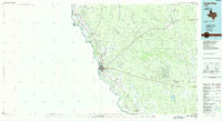
1985 · Eagle Pass
USGS Topo · 1:100,000