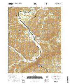
2019 Map of Eagle Rock
USGS Topo · Published 2019About this map
The James River defines the central axis of this landscape, carving a valley between the George Washington National Forest to the east and the Jefferson National Forest to the west. Small settlements like Eagle Rock, Bessemer, and Gala are clustered along the river corridor and the parallel path of Botetourt Rd, reflecting the historical importance of the river and rail lines for transportation through the Appalachian interior. Near the northern boundary, the community of Glen Wilton sits just downstream from the confluence of numerous mountain streams, including Big Cr and Sinking Cr.
Find a feature on this map
65 named features on this map. Tap any name to fly to it.
Don’t see what you’re looking for? This feature index may not catch every label — zoom into the map to look around manually.
Map Details
Editions of this 2019 Eagle Rock Map
This is the sole edition of this map. No revisions or reprints were ever made.
Other maps of this area

1894 · Natural Bridge
USGS Topo · 1:125,000

1894 · Natural Bridge
USGS Topo · 1:62,500

1907 · Natural Bridge Special
USGS Topo · 1:62,500

1913 · Eagle Rock
USGS Topo · 1:48,000

1915 · Eagle Rock
USGS Topo · 1:62,500

1945 · Clifton Forge
USGS Topo · 1:62,500

1946 · Millboro
USGS Topo · 1:62,500

1947 · Roanoke
USGS Topo · 1:250,000
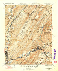
1949 · Clifton Forge
USGS Topo · 1:62,500
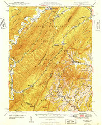
1949 · Millboro
USGS Topo · 1:62,500