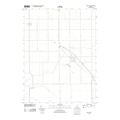
2010 Map of Earl Park
USGS Topo · Published 2010About this map
Earl Park sits at the heart of this agricultural landscape in Benton County, where the transition from pioneer prairie to intensive drainage-based farming is evident. The town's grid is oriented towards the path of Old US Hwy 41 and the local rail corridor near Railroad St. To the north and west, the smaller settlements of Sheff and Raub mark significant points in the rural transport network, while family and community history is anchored by the Saint John Cemetery and Earl Park Cemetery situated south of the main town site.
Find a feature on this map
32 named features on this map. Tap any name to fly to it.
Don’t see what you’re looking for? This feature index may not catch every label — zoom into the map to look around manually.
Map Details
Editions of this 2010 Earl Park Map
This is the sole edition of this map. No revisions or reprints were ever made.
Other maps of this area

1935 · Watseka
USGS Topo · 1:48,000

1938 · Milford
USGS Topo · 1:48,000

1939 · Watseka
USGS Topo · 1:62,500

1944 · Milford
USGS Topo · 1:62,500

1953 · Danville
USGS Topo · 1:250,000

1955 · Danville
USGS Topo · 1:250,000

1956 · Danville
USGS Topo · 1:250,000

1961 · Kentland
USGS Topo · 1:24,000

1962 · Wadena
USGS Topo · 1:24,000

1962 · Boswell
USGS Topo · 1:24,000