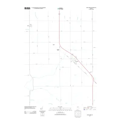
2013 Map of Earl Park
USGS Topo · Published 2013About this map
Earl Park serves as a primary hub in this corner of Benton County, where the street grid is bisected by the diagonal path of the railway and modern highways. The surrounding landscape is defined by an extensive network of drainage infrastructure, reflecting a long history of water management to support agricultural productivity. Features such as Morrison Ditch Number Two, Kent Ditch, and Gretencord Ditch cut across the gridded section lines, funneling into natural waterways like Sugar Creek and Coon Creek. The map documents the small settlements of Raub and Sheff, alongside the distinct roadway bend at Yeagers Curve. This survey captures the region as the bypass and Old US Hwy 41 diverged, illustrating the evolution of transit through the Indiana prairie during the early 21st century.
Find a feature on this map
42 named features on this map. Tap any name to fly to it.
Don’t see what you’re looking for? This feature index may not catch every label — zoom into the map to look around manually.
Map Details
Editions of this 2013 Earl Park Map
This is the sole edition of this map. No revisions or reprints were ever made.
Other maps of this area

1935 · Watseka
USGS Topo · 1:48,000

1938 · Milford
USGS Topo · 1:48,000

1939 · Watseka
USGS Topo · 1:62,500

1944 · Milford
USGS Topo · 1:62,500

1953 · Danville
USGS Topo · 1:250,000

1955 · Danville
USGS Topo · 1:250,000

1956 · Danville
USGS Topo · 1:250,000

1961 · Kentland
USGS Topo · 1:24,000

1962 · Wadena
USGS Topo · 1:24,000

1962 · Boswell
USGS Topo · 1:24,000