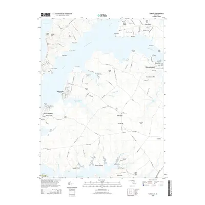
2014 Map of Earleville
USGS Topo · Published 2014About this map
The Sassafras River and Elk River define this peninsula in Cecil County, where the landscape is a patchwork of small settlements and coastal necks. The village of Earleville sits at the center of a road network connecting historic landings and agricultural estates like Mount Harmon. To the east, the town of Cecilton serves as a gateway to the region via the Augustine Herman Hwy. The shoreline is dotted with distinct communities such as White Crystal Beach, West View Shores, and Hexton Farms Airport, reflecting the area's long relationship with the water and local aviation.
Find a feature on this map
139 named features on this map. Tap any name to fly to it.
Don’t see what you’re looking for? This feature index may not catch every label — zoom into the map to look around manually.
Map Details
Editions of this 2014 Earleville Map
This is the sole edition of this map. No revisions or reprints were ever made.
Other maps of this area

1898 · Elkton
USGS Topo · 1:62,500

1898 · Tolchester
USGS Topo · 1:125,000

1899 · Dover
USGS Topo · 1:125,000

1900 · Elkton
USGS Topo · 1:62,500

1900 · Cecilton
USGS Topo · 1:62,500

1900 · Havre De Grace
USGS Topo · 1:62,500

1900 · Betterton
USGS Topo · 1:62,500

1903 · Tolchester
USGS Topo · 1:125,000

1906 · Dover
USGS Topo · 1:125,000

1908 · Tolchester
USGS Topo · 1:125,000