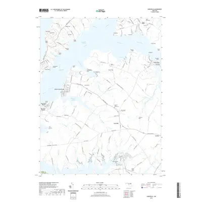
2019 Map of Earleville
USGS Topo · Published 2019About this map
Earleville and the surrounding necks of Cecil County define this landscape of rivers and creeks where the Elk River meets the Bohemia River. This modern survey illustrates a coastal community deeply tied to the water, featuring the Intracoastal Waterway and numerous landings like Town Point and White Crystal Beach. The map provides significant genealogical value through the documentation of the Veazey Family Cem, Saint Pauls United Methodist Cem, and Saint Stephens Episcopal Cem. Inland, the settlement of Cecilton stands at a major crossroads, while the Hexton Farms Airport and small residential enclaves like West View Shores show the contemporary development of these historic agricultural and maritime peninsulas. The intricate coastline is dotted with named points and coves, including Rogues Harbor and Veazey Cove, tracing the complex geography of Sassafras Neck and Pearce Neck.
Find a feature on this map
141 named features on this map. Tap any name to fly to it.
Don’t see what you’re looking for? This feature index may not catch every label — zoom into the map to look around manually.
Map Details
Editions of this 2019 Earleville Map
This is the sole edition of this map. No revisions or reprints were ever made.
Other maps of this area

1898 · Elkton
USGS Topo · 1:62,500

1898 · Tolchester
USGS Topo · 1:125,000

1899 · Dover
USGS Topo · 1:125,000

1900 · Elkton
USGS Topo · 1:62,500

1900 · Cecilton
USGS Topo · 1:62,500

1900 · Havre De Grace
USGS Topo · 1:62,500

1900 · Betterton
USGS Topo · 1:62,500

1903 · Tolchester
USGS Topo · 1:125,000

1906 · Dover
USGS Topo · 1:125,000

1908 · Tolchester
USGS Topo · 1:125,000