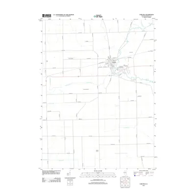
2012 Map of Earlville
USGS Topo · Published 2012About this map
Earlville serves as the central hub of this LaSalle County landscape, where the residential street grid meets a productive agricultural hinterland. The town is flanked by several small landing strips including B & C Airport and Earlville Airport, reflecting a local aviation presence in this rural corridor. Significant watercourses like Indian Creek and Sutphens Run wind through the township, defining the drainage patterns that shaped early settlement. For those tracing family histories, the map identifies several distinct burial sites such as Earl Cem, Saint Theresa Cem, and the more isolated Tripp Cem. The landscape is dominated by a strict sectional road network, exemplified by routes like N 45th Rd and E 13th Rd, which segment the terrain into the large tracts typical of Illinois prairie farming.
Find a feature on this map
63 named features on this map. Tap any name to fly to it.
Don’t see what you’re looking for? This feature index may not catch every label — zoom into the map to look around manually.
Map Details
Editions of this 2012 Earlville Map
This is the sole edition of this map. No revisions or reprints were ever made.
Other maps of this area

1892 · Ottawa
USGS Topo · 1:62,500

1893 · Lasalle
USGS Topo · 1:62,500

1911 · La Salle
USGS Topo · 1:62,500

1913 · La Salle
USGS Topo · 1:62,500

1915 · Ottawa
USGS Topo · 1:62,500

1946 · Ottawa
USGS Topo · 1:62,500

1947 · La Salle
USGS Topo · 1:62,500

1951 · Earlville
USGS Topo · 1:62,500

1952 · Mendota
USGS Topo · 1:62,500

1958 · Aurora
USGS Topo · 1:250,000