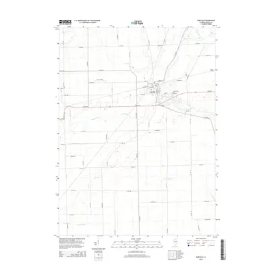
2015 Map of Earlville
USGS Topo · Published 2015About this map
Earlville serves as the primary hub in this LaSalle County landscape, where the grid of rural roads meets the branching paths of Indian Creek and Sutphens Run. The map highlights a significant concentration of local history through its recorded burial grounds, including Saint Theresa Cem, Earl Cem, and the more isolated Carter Cem and Tripp Cem. These sites, along with smaller facilities like B & C Airport and Humm Airport, suggest a community that maintains deep generational ties while supporting local aviation. The drainage patterns of Crookedleg Cr and Tomahawk Ditch illustrate the sophisticated water management typical of Illinois agricultural land, where natural streams are often augmented by man-made improvements to support the surrounding farmsteads.
Find a feature on this map
57 named features on this map. Tap any name to fly to it.
Don’t see what you’re looking for? This feature index may not catch every label — zoom into the map to look around manually.
Map Details
Editions of this 2015 Earlville Map
This is the sole edition of this map. No revisions or reprints were ever made.
Other maps of this area

1892 · Ottawa
USGS Topo · 1:62,500

1893 · Lasalle
USGS Topo · 1:62,500

1911 · La Salle
USGS Topo · 1:62,500

1913 · La Salle
USGS Topo · 1:62,500

1915 · Ottawa
USGS Topo · 1:62,500

1946 · Ottawa
USGS Topo · 1:62,500

1947 · La Salle
USGS Topo · 1:62,500

1951 · Earlville
USGS Topo · 1:62,500

1952 · Mendota
USGS Topo · 1:62,500

1958 · Aurora
USGS Topo · 1:250,000