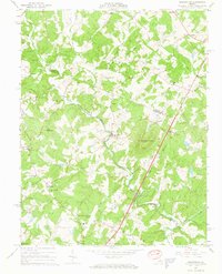
1965 Map of Earlysville
USGS Topo · Published 1966About this map
Earlysville and Advance Mills anchor this mid-1960s study of the Piedmont landscape where the North Fork Rivanna River carves through the foothills of the Blue Ridge. The terrain is defined by the prominent heights of Piney Mountain and Frays Mountain, while the lowlands show the expansion of regional infrastructure through the Charlottesville-Albemarle Airport. Rural community life is densely documented through numerous country churches, including Buck Mountain Ch, Mt Zion Ch, and Spring Hill Ch, along with the Broadus Wood Sch. The map reveals a transition in transportation and land use, from the traditional corridor of the Southern railroad and historic routes like Carpenter Mill Road to mid-century leisure markers such as a Drive-in Theater near Midway. Numerous family cemeteries are scattered across the Greene and Albemarle county line, providing significant data for genealogical research.
Find a feature on this map
44 named features on this map. Tap any name to fly to it.
Don’t see what you’re looking for? This feature index may not catch every label — zoom into the map to look around manually.
Map Details
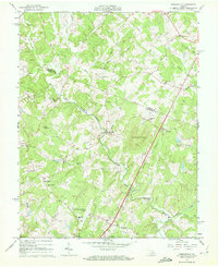
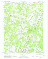
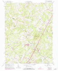
Editions of this 1965 Earlysville Map
4 editions found
Other maps of this area

1892 · Gordonsville
USGS Topo · 1:125,000

1892 · Harrisonburg
USGS Topo · 1:125,000

1930 · Madison
USGS Topo · 1:48,000

1931 · University
USGS Topo · 1:62,500

1933 · Madison
USGS Topo · 1:62,500

1935 · Charlottesville
USGS Topo · 1:62,500

1935 · University
USGS Topo · 1:62,500

1937 · Elkton
USGS Topo · 1:62,500

1939 · Charlottesville
USGS Topo · 1:62,500

1949 · Charlottesville
USGS Topo · 1:250,000