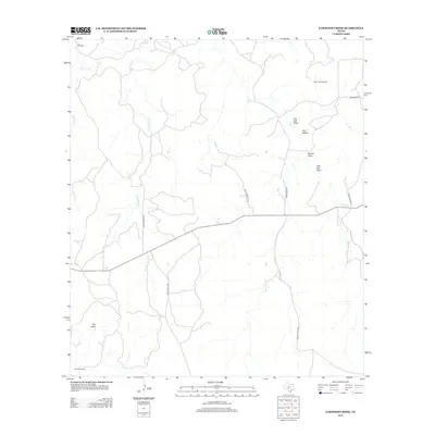
2012 Map of Earwood Creek
USGS Topo · Published 2012About this map
Earwood Creek and its many tributaries carve a complex drainage pattern across this section of Kerr County, defining the local ranching landscape. The area is characterized by seasonal watercourses and distinctive terrain features like The Kettle and Owl Hollow, which highlight the undulating geography of the Edwards Plateau. Ranching infrastructure is a prominent theme, with named water sources such as Tin Windmill, Black Jack Windmill, Steele Windmill, and Dardy Windmill distributed across the land to support livestock. These landmarks, along with various draws like Live Oak Draw and Post Oak Draw, provide essential navigation points in a region where water and topography dictate the movement of people and animals. Transportation is maintained by a network of rural routes, including Morris Ranch Rd and Ranch Road 336, which connect the scattered holdings of this quiet interior territory.
Find a feature on this map
18 named features on this map. Tap any name to fly to it.
Don’t see what you’re looking for? This feature index may not catch every label — zoom into the map to look around manually.
Map Details
Editions of this 2012 Earwood Creek Map
This is the sole edition of this map. No revisions or reprints were ever made.
Other maps of this area

1954 · Llano
USGS Topo · 1:250,000

1954 · San Antonio
USGS Topo · 1:250,000

1955 · Llano
USGS Topo · 1:250,000

1956 · Llano
USGS Topo · 1:250,000

1957 · San Antonio
USGS Topo · 1:250,000

1963 · Garven Store
USGS Topo · 1:24,000

1963 · Y O Ranch
USGS Topo · 1:24,000

1964 · Hillcrest Ranch
USGS Topo · 1:24,000
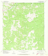
1971 · Bradford Creek
USGS Topo · 1:24,000
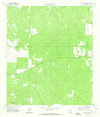
1971 · Earwood Creek
USGS Topo · 1:24,000