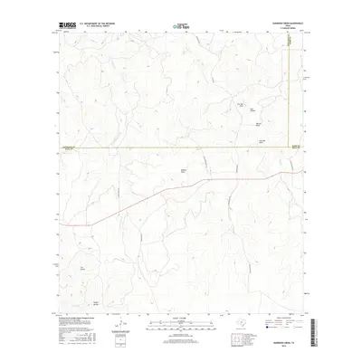
2016 Map of Earwood Creek
USGS Topo · Published 2016About this map
Earwood Creek carves through the landscape at the junction of Edwards, Kerr, and Real Counties, defining a terrain shaped by deep drainage networks and isolated landmarks. The map documents a sparsely populated ranching territory where local infrastructure is tied to long-established family landholdings, represented by Taylor Ranch Rd, Morris Ranch Rd, and Flagler Ranch Rd. Notable natural depressions and basins include The Kettle and Ranger Hollow, while an extensive system of draws such as Wildcat Draw, Live Oak Draw, and Merritt Draw illustrate the complex hydrology of the Edwards Plateau. This survey reveals how the winding Ranch Rd 336 navigates the topography, providing a detailed record of land use and property boundaries in this central Texas ranching corridor.
Find a feature on this map
20 named features on this map. Tap any name to fly to it.
Don’t see what you’re looking for? This feature index may not catch every label — zoom into the map to look around manually.
Map Details
Editions of this 2016 Earwood Creek Map
This is the sole edition of this map. No revisions or reprints were ever made.
Other maps of this area

1954 · Llano
USGS Topo · 1:250,000

1954 · San Antonio
USGS Topo · 1:250,000

1955 · Llano
USGS Topo · 1:250,000

1956 · Llano
USGS Topo · 1:250,000

1957 · San Antonio
USGS Topo · 1:250,000

1963 · Garven Store
USGS Topo · 1:24,000

1963 · Y O Ranch
USGS Topo · 1:24,000

1964 · Hillcrest Ranch
USGS Topo · 1:24,000
1971 · Bradford Creek
USGS Topo · 1:24,000
1971 · Earwood Creek
USGS Topo · 1:24,000