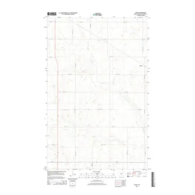
2014 Map of Easby
USGS Topo · Published 2014About this map
Easby anchors the eastern edge of this Cavalier County landscape, situated within a high-plains grid of section lines and agricultural roads. The terrain is subtly defined by the meandering course of the S Br Park River, which winds through the central and southern portions of the quadrangle. This 2014 survey reveals a highly organized rural infrastructure, where local routes like 107th Ave NE and 92nd St NE facilitate movement between vast tracts of farmland. The intersection of Nd-66 and 111th Ave NE provides the primary southern corridor, illustrating the modern connectivity of this North Dakota prairie region. The drainage patterns of the river branches against the rectilinear road system highlight the intersection of natural hydrology and human land management.
Find a feature on this map
15 named features on this map. Tap any name to fly to it.
Don’t see what you’re looking for? This feature index may not catch every label — zoom into the map to look around manually.
Map Details
Editions of this 2014 Easby Map
This is the sole edition of this map. No revisions or reprints were ever made.
Other maps of this area

1953 · Devils Lake
USGS Topo · 1:250,000

1956 · Devils Lake
USGS Topo · 1:250,000

1967 · Langdon East
USGS Topo · 1:24,000

1969 · Olga SW
USGS Topo · 1:24,000

1970 · Langdon West
USGS Topo · 1:24,000

1972 · Osnabrock
USGS Topo · 1:24,000

1972 · Nekoma
USGS Topo · 1:24,000

1972 · Easby
USGS Topo · 1:24,000

1972 · Osnabrock SW
USGS Topo · 1:24,000

1972 · Billings Lake
USGS Topo · 1:24,000