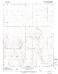
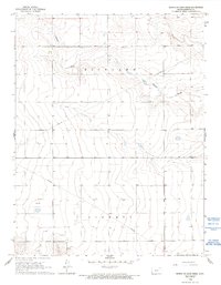
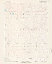
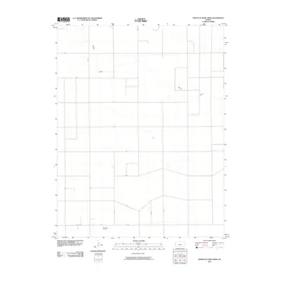
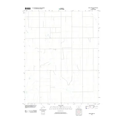
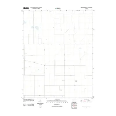
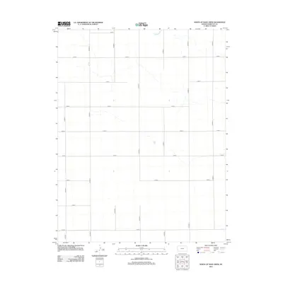
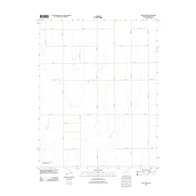
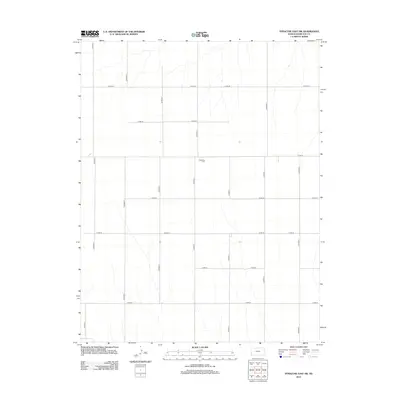
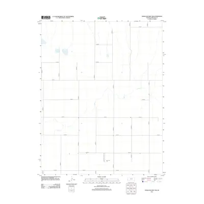
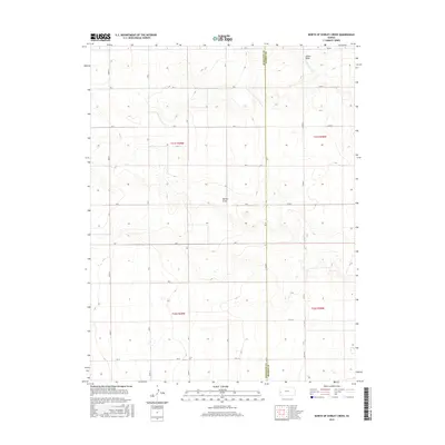
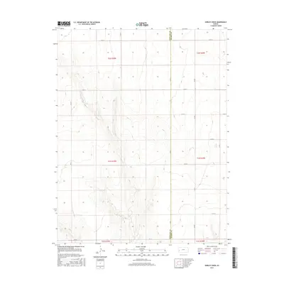
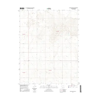
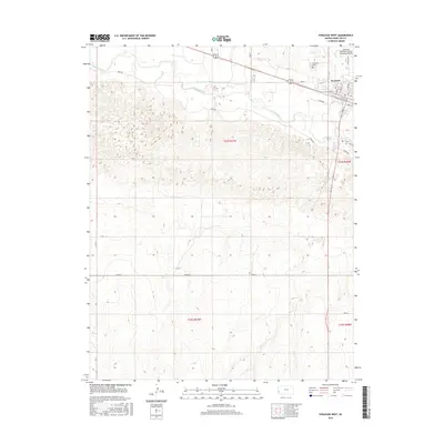
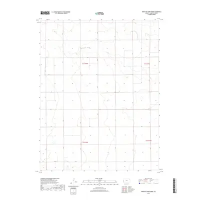
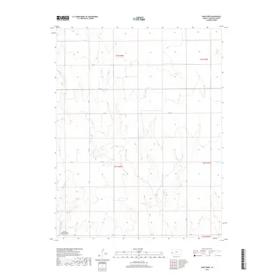
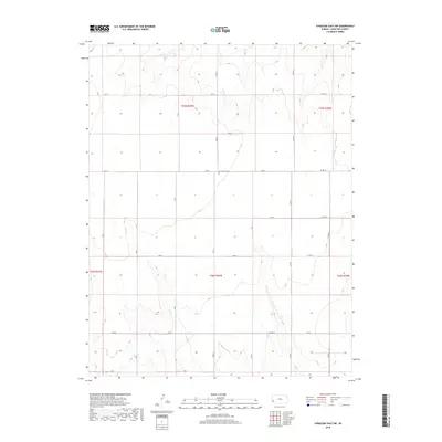
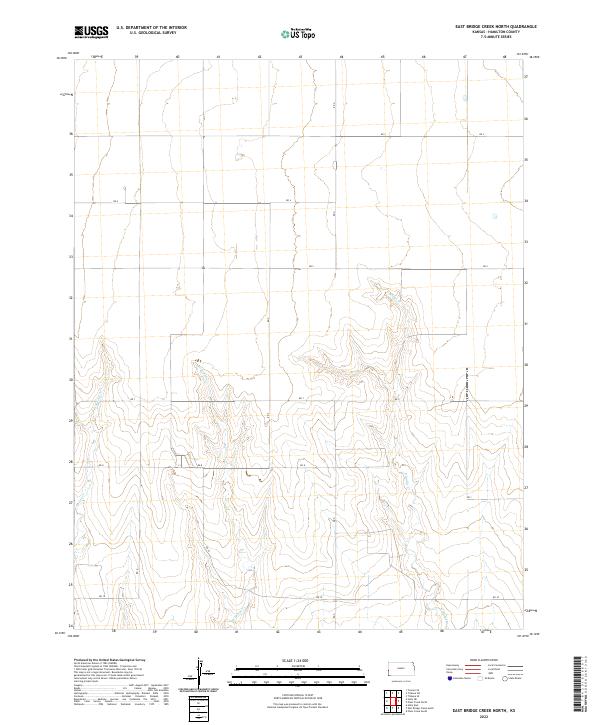
1966 Map of East Bridge Creek North
USGS Topo · Published 1993About this map
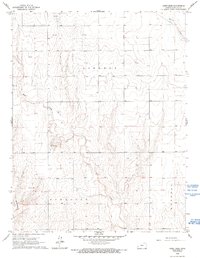
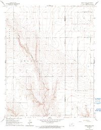
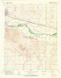
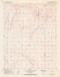
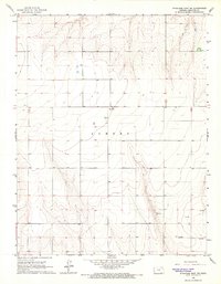
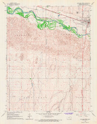
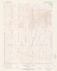
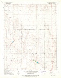
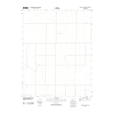
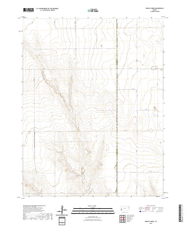
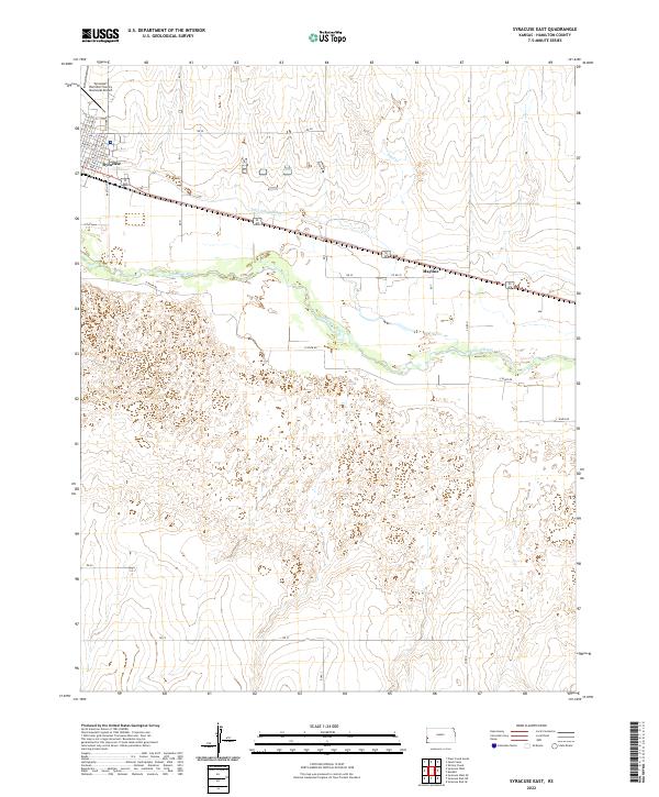
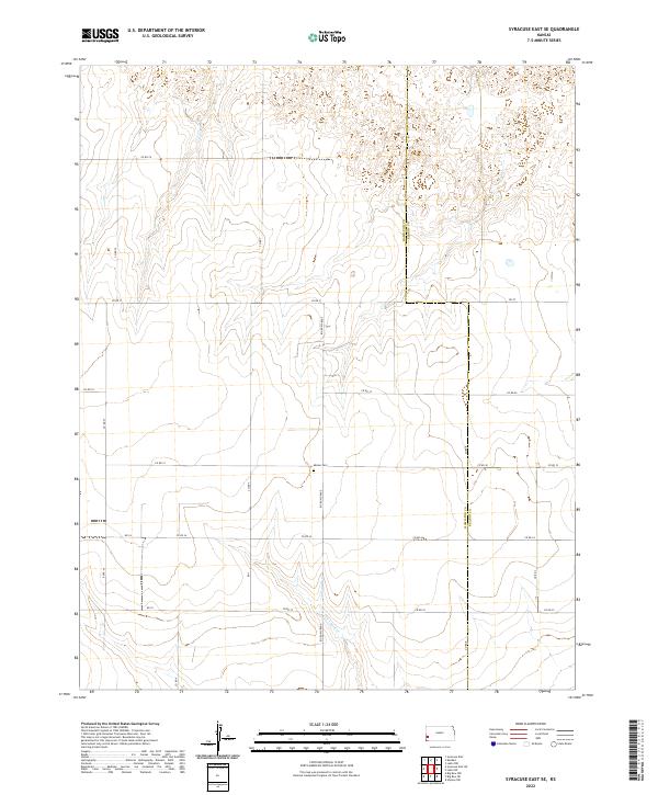
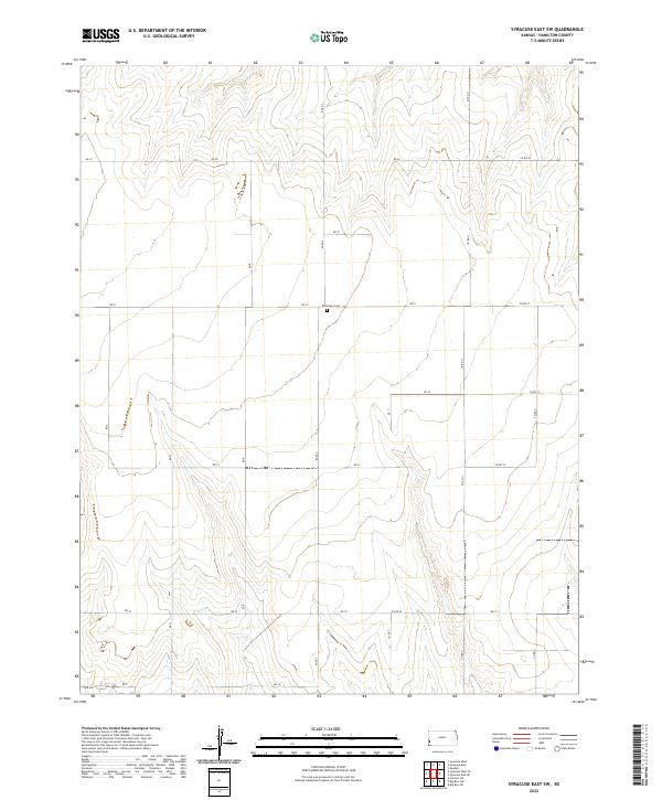
Amity Canal (Abandoned) cuts across the southern portion of this landscape, marking a shift in the region's water management history in western Kansas. Surveyed in the mid-1960s, the terrain is defined by the drainage systems of East Bridge Creek, West Bridge Creek, and Spring Creek, which carve deep contours into the high plains. The intersection of Richland, Coolidge, and Medway townships reveals a rural landscape organized by section lines and sparse industrial development. Resource extraction is evident through scattered infrastructure, including several Gas Wells and a specifically noted Drill Hole. This topographical study captures the area during a period when earlier irrigation efforts, represented by the dry canal, had given way to more modern energy exploration and traditional ranching or farming patterns.
Find a feature on this map
10 named features on this map. Tap any name to fly to it.
Don’t see what you’re looking for? This feature index may not catch every label — zoom into the map to look around manually.
Map Details
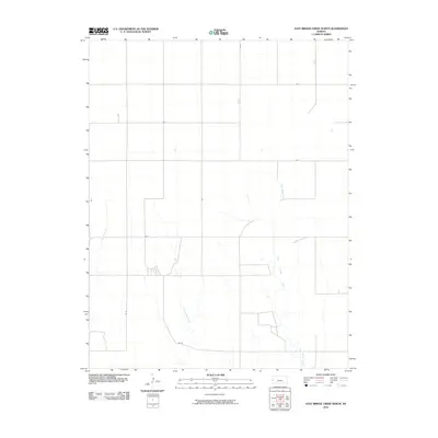
Editions of this 1966 East Bridge Creek North Map
2 editions found
Historical Maps of Hamilton County Through Time
96 maps found
1966 East Bridge Creek North
Hamilton County, KS
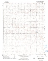
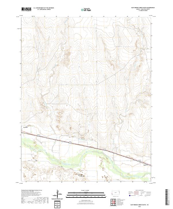
1966 East Bridge Creek South
Hamilton County, KS
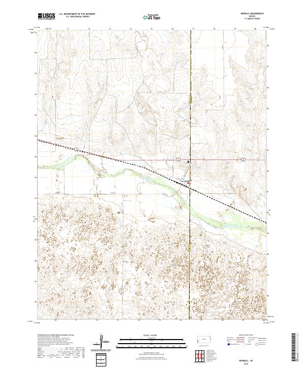
1966 Kendall
Hamilton County, KS
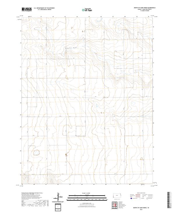
1966 North of Sand Creek
Hamilton County, KS
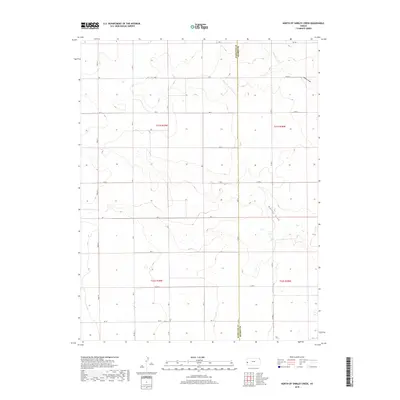
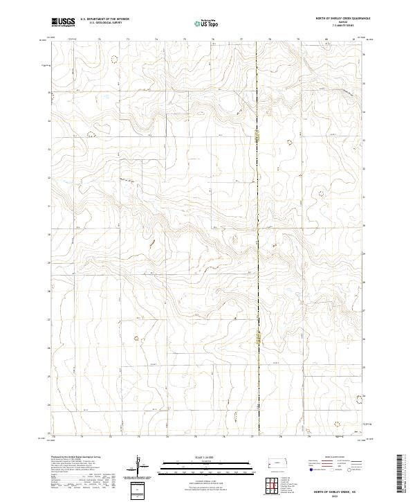
1966 North of Shirley Creek
Hamilton County, KS
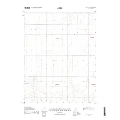
1966 Plum Creek North
Hamilton County, KS
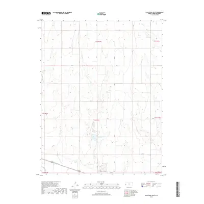
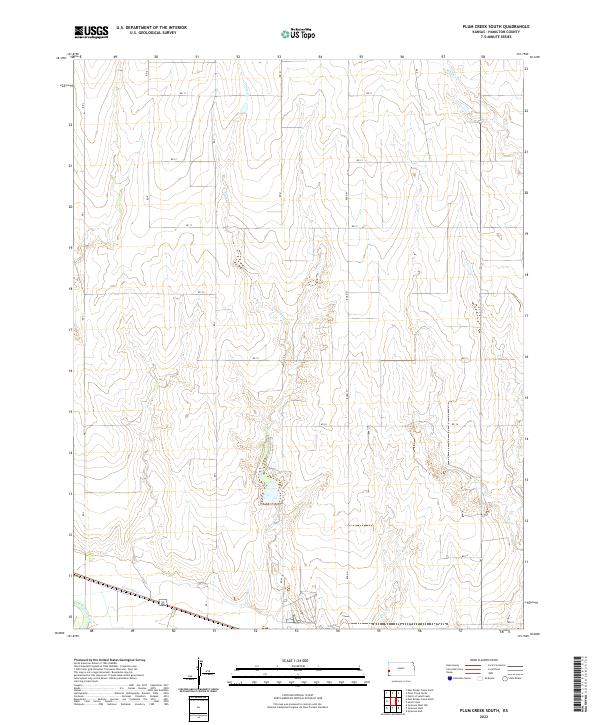
1966 Plum Creek South
Hamilton County, KS
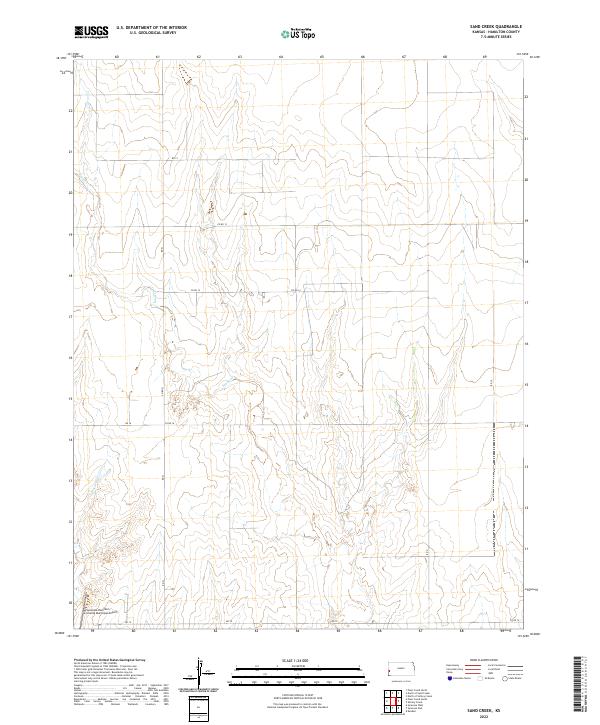
1966 Sand Creek
Hamilton County, KS
1966 Shirley Creek
Hamilton County, KS
1966 Syracuse East
Hamilton County, KS
1966 Syracuse East SE
Hamilton County, KS
1966 Syracuse East SW
Hamilton County, KS
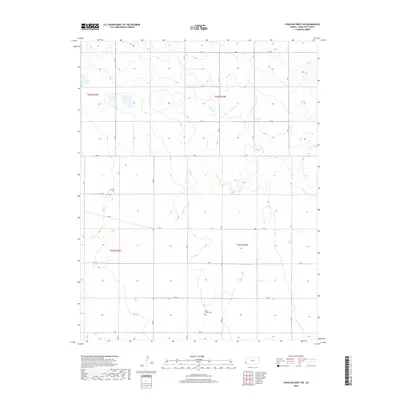
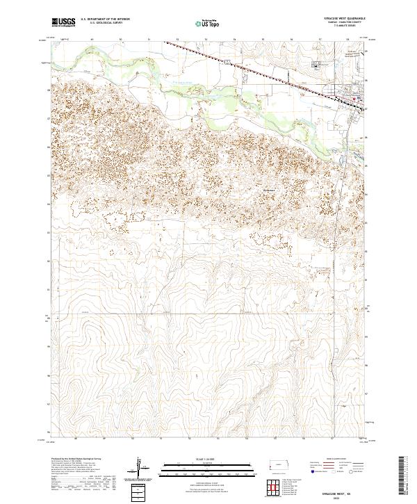
1966 Syracuse West
Hamilton County, KS
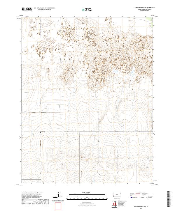
1966 Syracuse West NW
Hamilton County, KS
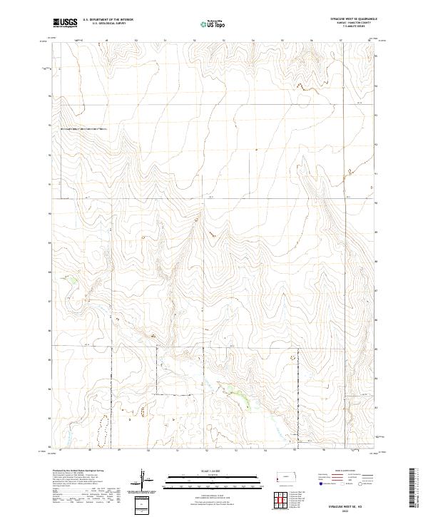
1966 Syracuse West SE
Hamilton County, KS
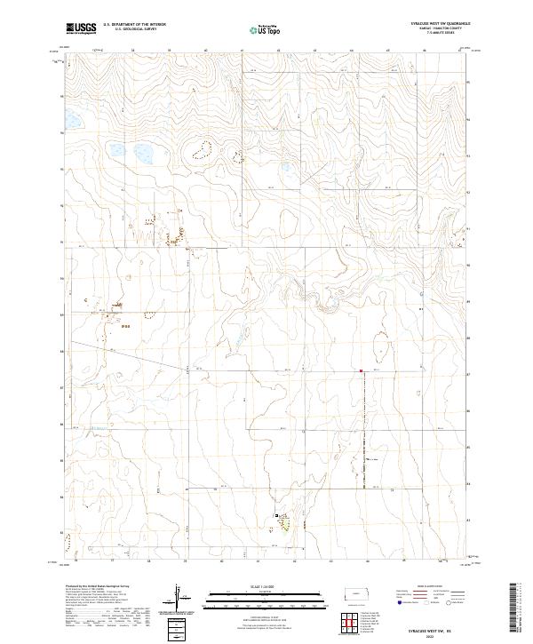
1966 Syracuse West SW
Hamilton County, KS
2010 East Bridge Creek North
Hamilton County, KS
2010 East Bridge Creek South
Hamilton County, KS
2010 Kendall
Hamilton County, KS
2010 North of Sand Creek
Hamilton County, KS
2010 North of Shirley Creek
Hamilton County, KS
2010 Plum Creek North
Hamilton County, KS
2010 Plum Creek South
Hamilton County, KS
2010 Sand Creek
Hamilton County, KS
2010 Shirley Creek
Hamilton County, KS
2010 Syracuse East
Hamilton County, KS
2010 Syracuse East SE
Hamilton County, KS
2010 Syracuse East SW
Hamilton County, KS
2010 Syracuse West
Hamilton County, KS
2010 Syracuse West NW
Hamilton County, KS
2010 Syracuse West SE
Hamilton County, KS
2010 Syracuse West SW
Hamilton County, KS
2012 East Bridge Creek North
Hamilton County, KS
2012 East Bridge Creek South
Hamilton County, KS
2012 Kendall
Hamilton County, KS
2012 North of Sand Creek
Hamilton County, KS
2012 North of Shirley Creek
Hamilton County, KS
2012 Plum Creek North
Hamilton County, KS
2012 Plum Creek South
Hamilton County, KS
2012 Sand Creek
Hamilton County, KS
2012 Shirley Creek
Hamilton County, KS
2012 Syracuse East
Hamilton County, KS
2012 Syracuse East SE
Hamilton County, KS
2012 Syracuse East SW
Hamilton County, KS
2012 Syracuse West
Hamilton County, KS
2012 Syracuse West NW
Hamilton County, KS
2012 Syracuse West SE
Hamilton County, KS
2012 Syracuse West SW
Hamilton County, KS
2015 East Bridge Creek North
Hamilton County, KS
2015 East Bridge Creek South
Hamilton County, KS
2015 North of Sand Creek
Hamilton County, KS
2015 North of Shirley Creek
Hamilton County, KS
2015 Plum Creek North
Hamilton County, KS
2015 Plum Creek South
Hamilton County, KS
2015 Sand Creek
Hamilton County, KS
2015 Shirley Creek
Hamilton County, KS
2015 Syracuse East
Hamilton County, KS
2015 Syracuse East SE
Hamilton County, KS
2015 Syracuse East SW
Hamilton County, KS
2015 Syracuse West NW
Hamilton County, KS
2015 Syracuse West SE
Hamilton County, KS
2015 Syracuse West SW
Hamilton County, KS
2016 Kendall
Hamilton County, KS
2016 Syracuse West
Hamilton County, KS
2018 East Bridge Creek North
Hamilton County, KS
2018 East Bridge Creek South
Hamilton County, KS
2018 Kendall
Hamilton County, KS
2018 North of Sand Creek
Hamilton County, KS
2018 North of Shirley Creek
Hamilton County, KS
2018 Plum Creek North
Hamilton County, KS
2018 Plum Creek South
Hamilton County, KS
2018 Sand Creek
Hamilton County, KS
2018 Shirley Creek
Hamilton County, KS
2018 Syracuse East
Hamilton County, KS
2018 Syracuse East SE
Hamilton County, KS
2018 Syracuse East SW
Hamilton County, KS
2018 Syracuse West
Hamilton County, KS
2018 Syracuse West NW
Hamilton County, KS
2018 Syracuse West SE
Hamilton County, KS
2018 Syracuse West SW
Hamilton County, KS
2022 East Bridge Creek North
Hamilton County, KS
2022 East Bridge Creek South
Hamilton County, KS
2022 Kendall
Hamilton County, KS
2022 North of Sand Creek
Hamilton County, KS
2022 North of Shirley Creek
Hamilton County, KS

2022 Plum Creek North
Hamilton County, KS
2022 Plum Creek South
Hamilton County, KS
2022 Sand Creek
Hamilton County, KS
2022 Shirley Creek
Hamilton County, KS
2022 Syracuse East
Hamilton County, KS
2022 Syracuse East SE
Hamilton County, KS
2022 Syracuse East SW
Hamilton County, KS
2022 Syracuse West
Hamilton County, KS
2022 Syracuse West NW
Hamilton County, KS
2022 Syracuse West SE
Hamilton County, KS
2022 Syracuse West SW
Hamilton County, KS