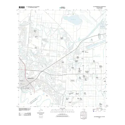
2010 Map of East Brownsville
USGS Topo · Published 2010About this map
The Rio Grande serves as the international boundary at the southern edge of this study, where the Gateway Bridge connects the United States with Mexico. The landscape of Brownsville is defined by its characteristic resacas—abandoned river meanders—including Town Resaca and Fort Brown Resaca. These water features weave through a dense concentration of residential developments known as colonias, such as Cameron Park and Reid Hope King, illustrating the region's specific settlement patterns.
Find a feature on this map
98 named features on this map. Tap any name to fly to it.
Don’t see what you’re looking for? This feature index may not catch every label — zoom into the map to look around manually.
Map Details
Editions of this 2010 East Brownsville Map
This is the sole edition of this map. No revisions or reprints were ever made.
Other maps of this area

1929 · Palmito Hill
USGS Topo · 1:24,000

1929 · Laguna Vista
USGS Topo · 1:24,000

1930 · Los Fresnos
USGS Topo · 1:24,000

1930 · West Brownsville
USGS Topo · 1:24,000

1930 · Barreda
USGS Topo · 1:24,000

1930 · East Brownsville
USGS Topo · 1:24,000

1936 · Los Fresnos
USGS Topo · 1:31,680
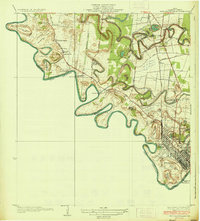
1936 · West Brownsville
USGS Topo · 1:31,680

1936 · Palmito Hill
USGS Topo · 1:31,680
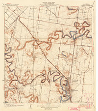
1936 · Barreda
USGS Topo · 1:31,680