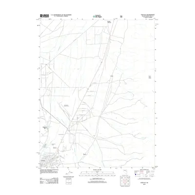
2012 Map of East Ely
USGS Topo · Published 2012About this map
East Ely serves as the focal point for this Nevada survey, where the valley floor meets the rising slopes of the Duck Creek Range. The landscape is defined by its transition from a structured rail and street grid to the broader agricultural and industrial outskirts. Notable landmarks like the Baltimore Mill and the Ely Airport (Yelland Field) reflect the area's economic foundations, while the proximity of Ely Warm Springs, Lackawanna Springs, and Warm Spring highlights the vital role of water in this arid high-desert environment.
Find a feature on this map
60 named features on this map. Tap any name to fly to it.
Don’t see what you’re looking for? This feature index may not catch every label — zoom into the map to look around manually.
Map Details
Editions of this 2012 East Ely Map
This is the sole edition of this map. No revisions or reprints were ever made.
Other maps of this area

1952 · Ely
USGS Topo · 1:125,000

1956 · Ely
USGS Topo · 1:250,000

1958 · McGill
USGS Topo · 1:24,000

1958 · Ruth
USGS Topo · 1:24,000

1958 · East Ely
USGS Topo · 1:24,000

1958 · Comins Lake
USGS Topo · 1:24,000

1958 · Ely
USGS Topo · 1:62,500

1958 · McGill
USGS Topo · 1:62,500

1958 · Ely
USGS Topo · 1:24,000

1959 · Ely
USGS Topo · 1:250,000