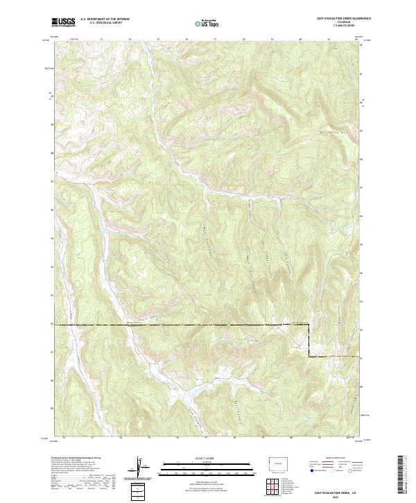
2022 Map of East Evacuation Creek
USGS Topo · Published 2022About this map
Oil Spring Mtn dominates the northeastern landscape of this high-altitude region along the border of Rio Blanco and Garfield counties. The terrain is defined by a dense network of drainage systems, including Missouri Cr and Little Bluejay Cr, which carve through deep local depressions such as Timber Canyon and Calf Canyon. The topography here illustrates the transition between the high plateaus and the intricate canyonlands of Western Colorado.
Find a feature on this map
27 named features on this map. Tap any name to fly to it.
Don’t see what you’re looking for? This feature index may not catch every label — zoom into the map to look around manually.
Map Details
Editions of this 2022 East Evacuation Creek Map
This is the sole edition of this map. No revisions or reprints were ever made.
Other maps of this area

1885 · East Tavaputs
USGS Topo · 1:250,000

1956 · Grand Junction
USGS Topo · 1:250,000

1959 · Grand Junction
USGS Topo · 1:250,000

1960 · Grand Junction
USGS Topo · 1:250,000

1962 · Grand Junction
USGS Topo · 1:250,000

1964 · Grand Junction
USGS Topo · 1:250,000

1964 · Texas Creek
USGS Topo · 1:24,000

1964 · Douglas Pass
USGS Topo · 1:24,000

1964 · East Evacuation Creek
USGS Topo · 1:24,000
1964 · Texas Mountain
USGS Topo · 1:24,000