
1964 Map of Texas Creek
USGS Topo · Published 1968About this map
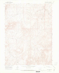
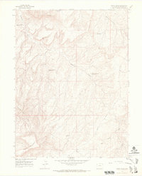
The high plateau and canyon country of Rio Blanco County come into sharp focus in this mid-1960s topographic study. The landscape is defined by the drainage systems of Texas Creek and Missouri Creek, which carve through the elevated terrain near Rabbit Mountain and Park Mountain. Evidence of the region's energy-driven economy is everywhere, with numerous Gas Wells and Drill Holes scattered across the ridges and washes, particularly around the northern reaches of Red Wash.
Find a feature on this map
17 named features on this map. Tap any name to fly to it.
Don’t see what you’re looking for? This feature index may not catch every label — zoom into the map to look around manually.
Map Details
Editions of this 1964 Texas Creek Map
3 editions found
Other maps of this area

1885 · East Tavaputs
USGS Topo · 1:250,000

1956 · Grand Junction
USGS Topo · 1:250,000

1959 · Grand Junction
USGS Topo · 1:250,000

1960 · Grand Junction
USGS Topo · 1:250,000

1962 · Grand Junction
USGS Topo · 1:250,000

1964 · Grand Junction
USGS Topo · 1:250,000

1964 · East Evacuation Creek
USGS Topo · 1:24,000
1964 · Water Canyon
USGS Topo · 1:24,000
1964 · Texas Mountain
USGS Topo · 1:24,000
1964 · Banta Ridge
USGS Topo · 1:24,000