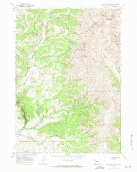
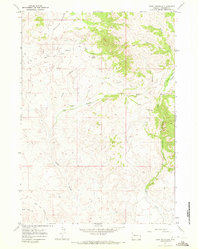
1967 Map of East Fork Basin
USGS Topo · Published 1971About this map
Shoshone National Forest dominates this high-country landscape, where the Wind River Indian Reservation Boundary cuts across the drainage of the East Fork Wind River. The area is defined by a dense network of mountain waterways, including Needle Creek, Fall Creek, and Lake Creek, which descend through steep drainages toward the central river valley. Human presence is limited to remote outposts and access points, such as the East Fork Guard Station and a solitary Landing Strip situated near Mountain Meadows.
Find a feature on this map
16 named features on this map. Tap any name to fly to it.
Don’t see what you’re looking for? This feature index may not catch every label — zoom into the map to look around manually.
Map Details
Editions of this 1967 East Fork Basin Map
This is the sole edition of this map. No revisions or reprints were ever made.
Other maps of this area

1904 · Kirwin
USGS Topo · 1:125,000

1906 · Kirwin
USGS Topo · 1:125,000

1955 · Thermopolis
USGS Topo · 1:250,000

1958 · Thermopolis
USGS Topo · 1:250,000

1962 · Thermopolis
USGS Topo · 1:250,000
1967 · Bain Draw
USGS Topo · 1:24,000

1967 · Monument Peak
USGS Topo · 1:24,000
1967 · Castle Rock
USGS Topo · 1:24,000
1967 · Johnson Draw
USGS Topo · 1:24,000
1967 · Crow Mountain
USGS Topo · 1:24,000