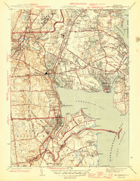
1944 Map of East Greenwich
USGS Topo · Published 1944About this map
State Prison and the nearby State Farm dominate the northern landscape near Howard, reflecting the area's mid-century institutional character. Along the coast of Greenwich Bay, the map reveals a dense network of seasonal and permanent settlements including Oakland Beach, Chepiwanoxet, and Apponaug. Public infrastructure is well-established by this era, notably at the State Airport in Hillsgrove and the expansive grounds of Goddard State Park on the peninsula. The New York New Haven and Hartford RR provides a critical industrial spine, linking the mill villages of Natick and East Natick with the commercial center of East Greenwich. Local life is further documented through numerous educational sites like Lockwood High Sch and specialized facilities such as the Crawford Allen Hospital near Pojac Pt.
Find a feature on this map
116 named features on this map. Tap any name to fly to it.
Don’t see what you’re looking for? This feature index may not catch every label — zoom into the map to look around manually.
Map Details
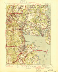
Editions of this 1944 East Greenwich Map
2 editions found
Other maps of this area

1887 · Providence
USGS Topo · 1:62,500

1889 · Providence
USGS Topo · 1:62,500

1889 · Burrillville
USGS Topo · 1:62,500

1890 · Narragansett Bay
USGS Topo · 1:62,500

1890 · Kent
USGS Topo · 1:62,500

1892 · Narragansett Bay
USGS Topo · 1:62,500

1894 · Burrillville
USGS Topo · 1:62,500

1894 · Kent
USGS Topo · 1:62,500

1894 · Providence
USGS Topo · 1:62,500

1915 · Burrillville
USGS Topo · 1:62,500